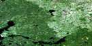
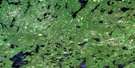
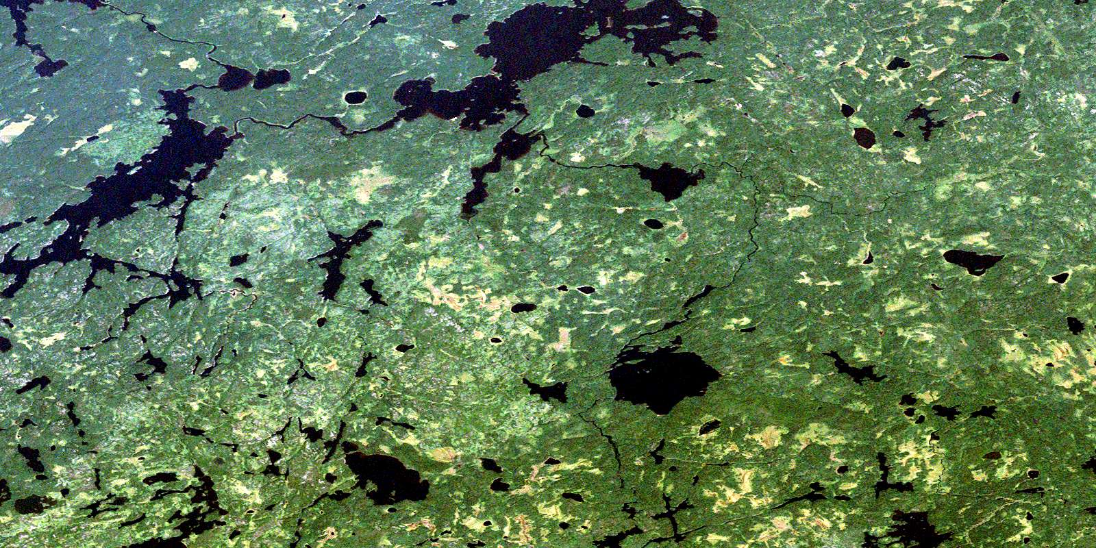
Mamakwash Lake Satellite Image Map
Download Free Aerial Photo 052N10 at 1:50,000 scale
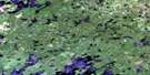
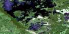
Mamakwash Lake Satellite Imagery
To view this satellite map, mouse over the air photo on the right.
You can also download this satellite image map for free:
052N10 Mamakwash Lake high-resolution satellite image map.
Maps for the Mamakwash Lake aerial map sheet 052N10 at 1:50,000 scale are also available in these versions:
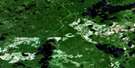
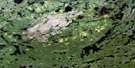
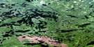
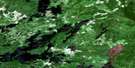
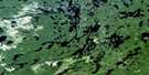
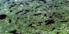
Mamakwash Lake Surrounding Area Aerial Photo Maps
 |
 |
 |
 |
 |
 |
 |
 |
 |
 |
 |
 |
 |
 |
 |
 |
© Department of Natural Resources Canada. All rights reserved.
Mamakwash Lake Gazetteer
The following places can be found on satellite image map 052N10 Mamakwash Lake:
Mamakwash Lake Satellite Image: Bays
Southwest BayMamakwash Lake Satellite Image: Falls
Mamakwash FallsWoman Falls
Mamakwash Lake Satellite Image: Lakes
Blondin LakeCoathup Lake
Good Site Lake
Goose Lake
Mainprize Lake
Mamakwash Lake
Mattin Lake
McNally Lake
Noble Lake
Poirier Lake
Southwest Lake
Upper Goose Lake
Wavell Lake
Whitelaw Lake
Mamakwash Lake Satellite Image: Rapids
Eagle RapidsMamakwash Lake Satellite Image: Rivers
Berens RiverMamakwash River
Serpent River
Whitefish River
© Department of Natural Resources Canada. All rights reserved.
052N Related Maps:
052N Trout Lake052N01 Jeanette Lake
052N02 Confederation Lake
052N03 Little Trout Lake
052N04 Red Lake
052N05 Nungesser River
052N06 Henfrey Lake
052N07 Shabumeni Lake
052N08 Birch Lake
052N09 Carillon Lake
052N10 Mamakwash Lake
052N11 Pringle Lake
052N12 Kirkness Lake
052N13 Berens Lake
052N14 Nechigona Lake
052N15 Madden Lake
052N16 Wigwasikak Lake
