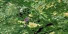
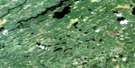
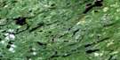
Machawaian Lake Satellite Image Map
Download Free Aerial Photo 052P16 at 1:50,000 scale
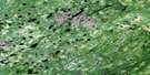
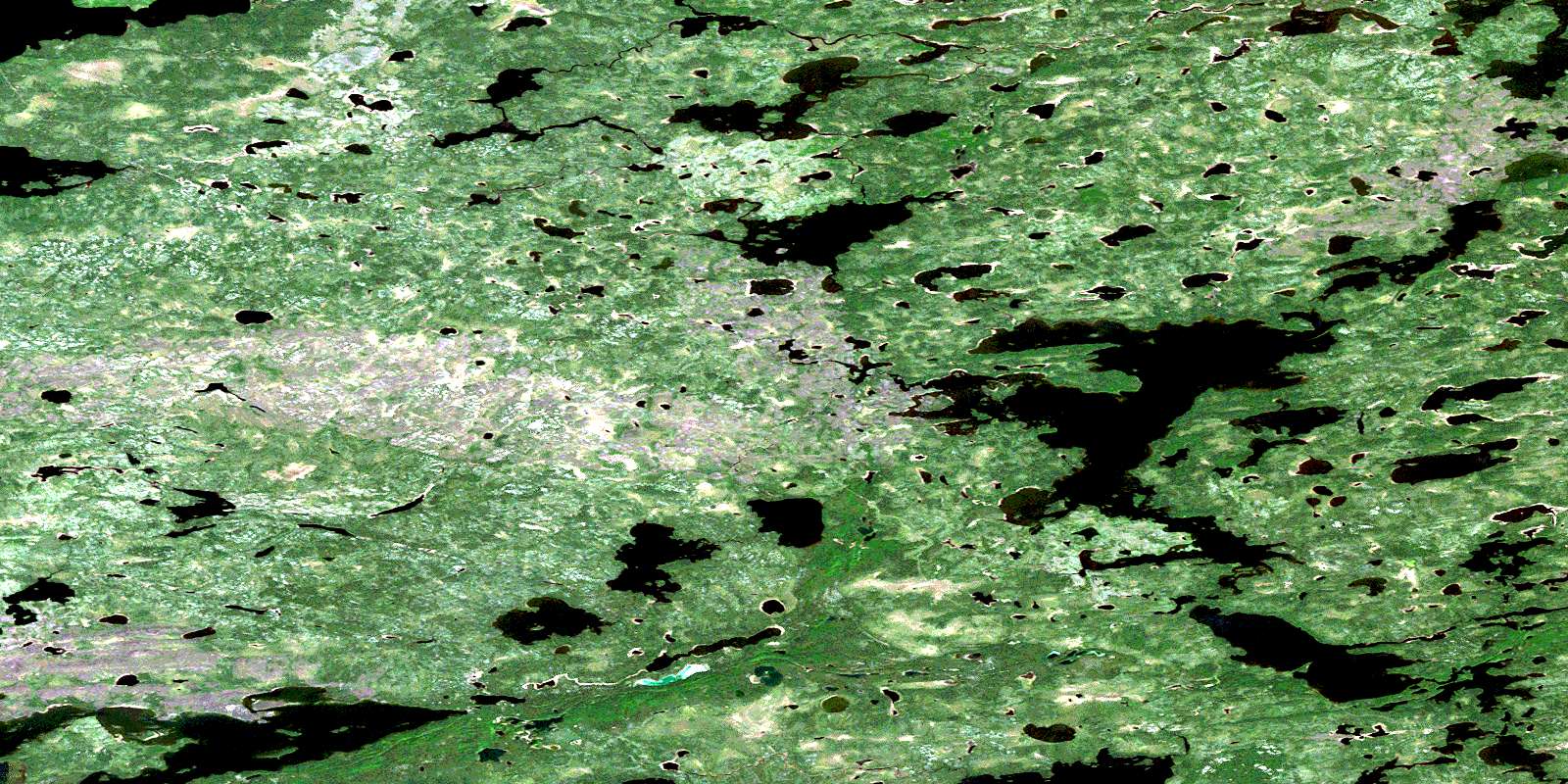
Machawaian Lake Satellite Imagery
To view this satellite map, mouse over the air photo on the right.
You can also download this satellite image map for free:
052P16 Machawaian Lake high-resolution satellite image map.
Maps for the Machawaian Lake aerial map sheet 052P16 at 1:50,000 scale are also available in these versions:
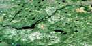
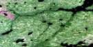
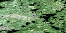
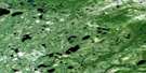
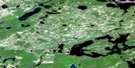
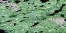
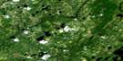
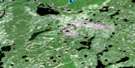
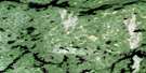
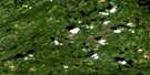
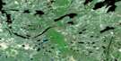
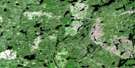
Machawaian Lake Surrounding Area Aerial Photo Maps
 |
 |
 |
 |
 |
 |
 |
 |
 |
 |
 |
 |
 |
 |
 |
 |
© Department of Natural Resources Canada. All rights reserved.
Machawaian Lake Gazetteer
The following places can be found on satellite image map 052P16 Machawaian Lake:
Machawaian Lake Satellite Image: Bays
East ArmMachawaian Lake Satellite Image: Lakes
Asselin LakeBeeswax Lake
Cadman Lake
Hail Lake
Keezhik Lake
Kenozhe Lake
Machan Lakes
Machawaian Lake
Manitush Lake
Maracle Lake
Oneside Lake
Ozhiski Lake
Philbrook Lake
Podann Lake
Sleet Lake
Waghorn Lake
Wintawanan Lake
Machawaian Lake Satellite Image: Conservation areas
Otoskwin-Attawapiskat River Provincial ParkMachawaian Lake Satellite Image: Rivers
Marten Drinking RiverSleet River
© Department of Natural Resources Canada. All rights reserved.
052P Related Maps:
052P Miminiska Lake052P01 Sim Lake
052P02 Kilbarry Lake
052P03 Greenmantle Lake
052P04 Coles Lake
052P05 Seach Lake
052P06 Pruner Lake
052P07 Grace Lake
052P08 Kawitos Lake
052P09 Opikeigen Lake
052P10 Miminiska Lake
052P11 Crerar Lake
052P12 Collishaw Lake
052P13 Lysander Lake
052P14 Jervis Bay Lake
052P15 Ozhiski Lake
052P16 Machawaian Lake
