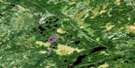
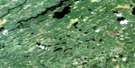
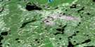
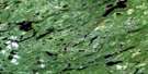
Coles Lake Satellite Image Map
Download Free Aerial Photo 052P04 at 1:50,000 scale
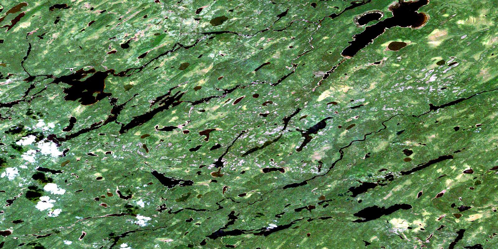
Coles Lake Satellite Imagery
To view this satellite map, mouse over the air photo on the right.
You can also download this satellite image map for free:
052P04 Coles Lake high-resolution satellite image map.
Maps for the Coles Lake aerial map sheet 052P04 at 1:50,000 scale are also available in these versions:
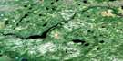
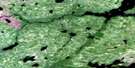
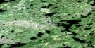
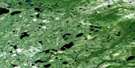
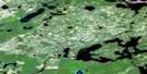
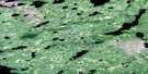
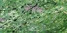
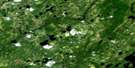
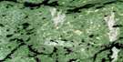
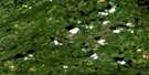
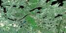
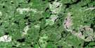
Coles Lake Surrounding Area Aerial Photo Maps
 |
 |
 |
 |
 |
 |
 |
 |
 |
 |
 |
 |
 |
 |
 |
 |
© Department of Natural Resources Canada. All rights reserved.
Coles Lake Gazetteer
The following places can be found on satellite image map 052P04 Coles Lake:
Coles Lake Satellite Image: Channels
Main ChannelSouth Channel
Coles Lake Satellite Image: Falls
Iron FallsKagami Falls
Coles Lake Satellite Image: Geographical areas
Thunder BayColes Lake Satellite Image: Islands
Kagami IslandColes Lake Satellite Image: Lakes
Achapi LakeAtikokiwam Lake
August Lake
Coles Lake
Crozier Lake
Dot Lake
Finton Lake
Frain Lake
Garraway Lake
Jemima Lake
Lowry Lake
Povey Lake
Rockcliff Lake
Rockliff Lake
Webb Lake
Woodilee Lake
Coles Lake Satellite Image: Conservation areas
Albany River Provincial ParkWabakimi Provincial Park
Coles Lake Satellite Image: Rivers
Albany RiverAugust Creek
Caron Creek
Lowry Creek
Misehkow River
Woodilee Creek
© Department of Natural Resources Canada. All rights reserved.
052P Related Maps:
052P Miminiska Lake052P01 Sim Lake
052P02 Kilbarry Lake
052P03 Greenmantle Lake
052P04 Coles Lake
052P05 Seach Lake
052P06 Pruner Lake
052P07 Grace Lake
052P08 Kawitos Lake
052P09 Opikeigen Lake
052P10 Miminiska Lake
052P11 Crerar Lake
052P12 Collishaw Lake
052P13 Lysander Lake
052P14 Jervis Bay Lake
052P15 Ozhiski Lake
052P16 Machawaian Lake
