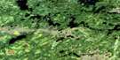
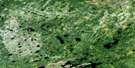
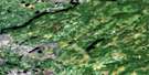
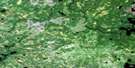
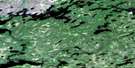
Nankika Lake Satellite Image Map
Download Free Aerial Photo 053A08 at 1:50,000 scale
Nankika Lake Satellite Imagery
To view this satellite map, mouse over the air photo on the right.
You can also download this satellite image map for free:
053A08 Nankika Lake high-resolution satellite image map.
Maps for the Nankika Lake aerial map sheet 053A08 at 1:50,000 scale are also available in these versions:
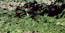
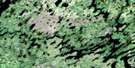
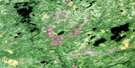
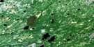
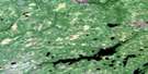
Nankika Lake Surrounding Area Aerial Photo Maps
 |
 |
 |
 |
 |
 |
 |
 |
 |
 |
 |
 |
 |
 |
 |
 |
© Department of Natural Resources Canada. All rights reserved.
Nankika Lake Gazetteer
The following places can be found on satellite image map 053A08 Nankika Lake:
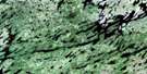
Nankika Lake Satellite Image: Lakes
Attawapiskat LakeBake Lake
Hutchins Lake
Kabania Lake
Keely Lake
Lancaster Lake
Lane Lake
Michikamog Lake
Michikenopik Lake
Nankika Lake
Obashi Lake
Pettitt Lake
Riendeau Lake
Wagabkedei Lake
Winonitikameg Lake
Wishak Lake
Nankika Lake Satellite Image: Conservation areas
Otoskwin-Attawapiskat River Provincial ParkNankika Lake Satellite Image: Rivers
Michikenopik Creek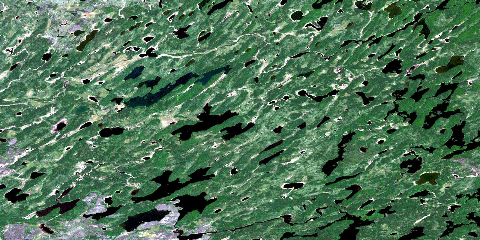
© Department of Natural Resources Canada. All rights reserved.
053A Related Maps:
053A Wunnummin Lake053A01 Kabania Lake
053A02 Pattle Lake
053A03 Totogan Lake
053A04 Dillen Lake
053A05 Neawagank Lake
053A06 Wigwascence Lake
053A07 Eyes Lake
053A08 Nankika Lake
053A09 Sagiminnis Lake
053A10 Sheridan Lake
053A11 Michikenis Lake
053A12 Obabigan Lake
053A13 Big Beaver House
053A14 Wunnummin Lake
053A15 Sennett Lake
053A16 Wapikopa Lake
