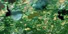
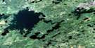
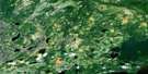
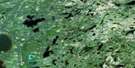
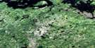
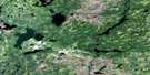
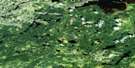
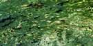
North Caribou Lake Satellite Image Map
Download Free Aerial Photo 053B15 at 1:50,000 scale
North Caribou Lake Satellite Imagery
To view this satellite map, mouse over the air photo on the right.
You can also download this satellite image map for free:
053B15 North Caribou Lake high-resolution satellite image map.
Maps for the North Caribou Lake aerial map sheet 053B15 at 1:50,000 scale are also available in these versions:
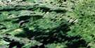
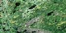
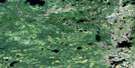
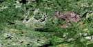
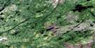
North Caribou Lake Surrounding Area Aerial Photo Maps
 |
 |
 |
 |
 |
 |
 |
 |
 |
 |
 |
 |
 |
 |
 |
 |
© Department of Natural Resources Canada. All rights reserved.
North Caribou Lake Gazetteer
The following places can be found on satellite image map 053B15 North Caribou Lake:
North Caribou Lake Satellite Image: Bays
Stewart BayNorth Caribou Lake Satellite Image: Islands
Dover IslandHood Island
Kincaid Island
North Caribou Lake Satellite Image: Lakes
Atim LakeCastor Lake
Cemetery Lake
De Blicquy Lake
Doubtful Lake
Erichsen Lake
Eyapamikama Lake
Harness Lake
Hatch Lake
Hodgson Lake
Lundmark Lake
McGruer Lake
North Caribou Lake
Pollux Lake
Prady Lake
Schade Lake
Seeseep Lake
Stanley Lake
Staunton Lake
North Caribou Lake Satellite Image: Rivers
North Caribou RiverNorth Caribou Lake Satellite Image: Unincorporated areas
Atikup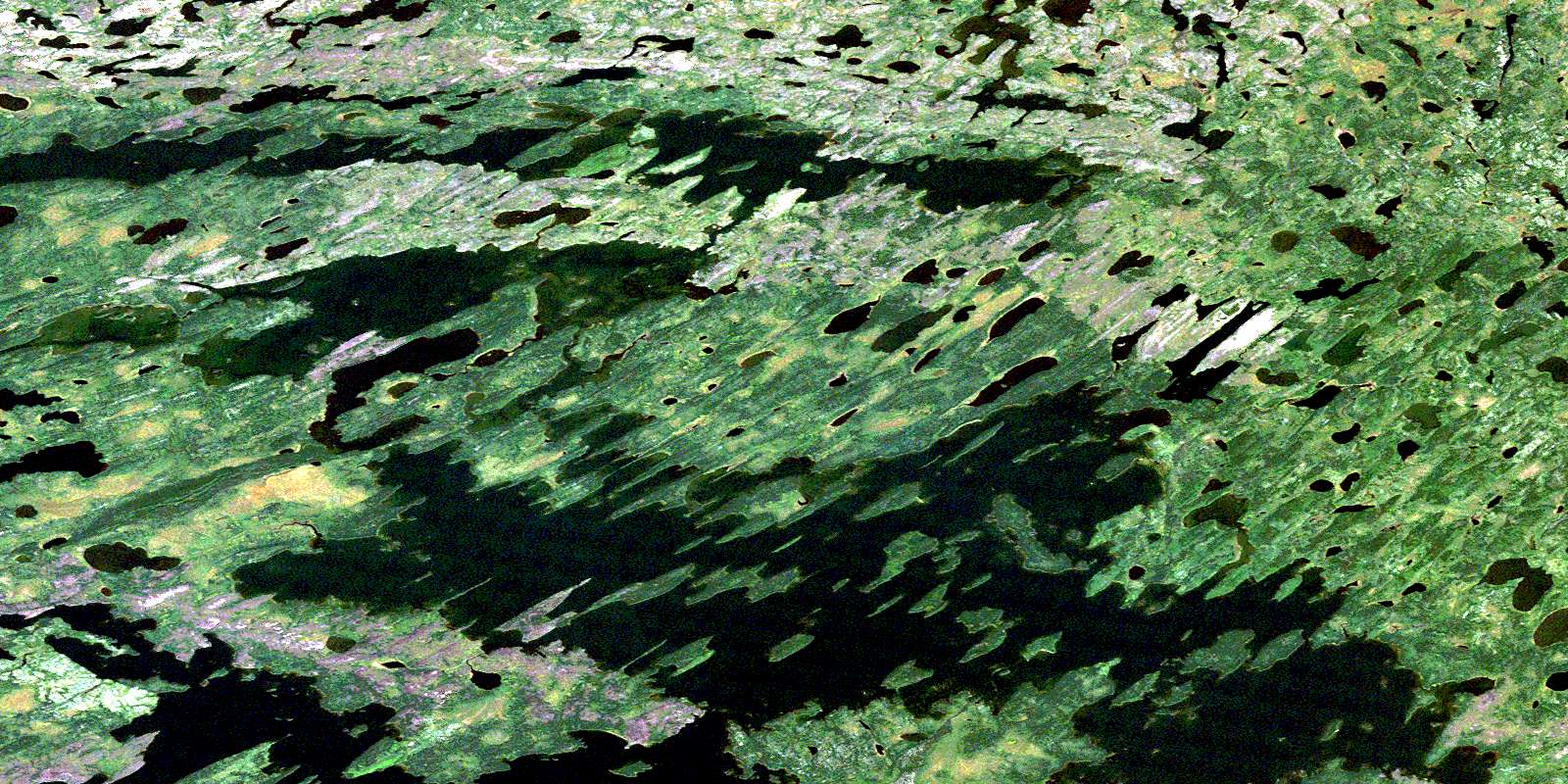
© Department of Natural Resources Canada. All rights reserved.
053B Related Maps:
053B North Caribou Lake053B01 Menako Lakes
053B02 Kecheokagan Lake
053B03 Hinton Lake
053B04 Mccauley Lake
053B05 Shinbone Lake
053B06 Stirland Lake
053B07 Mawley Lake
053B08 Forester Lake
053B09 Opapimiskan Lake
053B10 Donnelly River
053B11 Yoyoy Lake
053B12 Windigo Lake
053B13 Nikip Lake
053B14 Weagamow Lake
053B15 North Caribou Lake
053B16 Wachusk Lake
