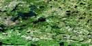
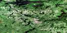
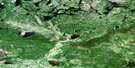
Hayward Lake Satellite Image Map
Download Free Aerial Photo 053F12 at 1:50,000 scale
Hayward Lake Satellite Imagery
To view this satellite map, mouse over the air photo on the right.
You can also download this satellite image map for free:
053F12 Hayward Lake high-resolution satellite image map.
Maps for the Hayward Lake aerial map sheet 053F12 at 1:50,000 scale are also available in these versions:
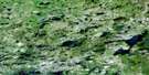
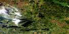
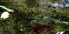
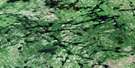
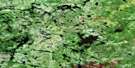
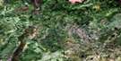
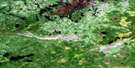
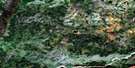
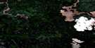
Hayward Lake Surrounding Area Aerial Photo Maps
 |
 |
 |
 |
 |
 |
 |
 |
 |
 |
 |
 |
 |
 |
 |
 |
© Department of Natural Resources Canada. All rights reserved.
Hayward Lake Gazetteer
The following places can be found on satellite image map 053F12 Hayward Lake:
Hayward Lake Satellite Image: Bays
Kakapkaychowinsink BayNikikwapik Bay
Nikikwapikonsik Bay
Sagawitchewan Bay
Wemtikosi Bay
Hayward Lake Satellite Image: Channels
Manito NarrowsMooseekanik Narrows
Hayward Lake Satellite Image: Falls
Sea Gull FallsHayward Lake Satellite Image: Lakes
Almey LakeArnot Lake
Arnot Lake
Burnt Lake
Cocos Lake
Donoghue Lake
Hayward Lake
Hayward Lake
Hilton Lake
Hilton Lake
Island Lake
Jenvey Lake
Joint Lake
McIver Lake
McPhail Lake
McPhail Lake
Ridgers Lake
Ridgers Lake
Sabourin Lake
Hayward Lake Satellite Image: Conservation areas
Opasquia Provincial ParkHayward Lake Satellite Image: Rapids
Sakawichewan RapidsHayward Lake Satellite Image: Rivers
Meegeesi RiverSadler River
Sagawitchewan River
Sagawitchewan River
Hayward Lake Satellite Image: Road features
Isputenow PortagePisew Portage
Hayward Lake Satellite Image: Unincorporated areas
Weesakachak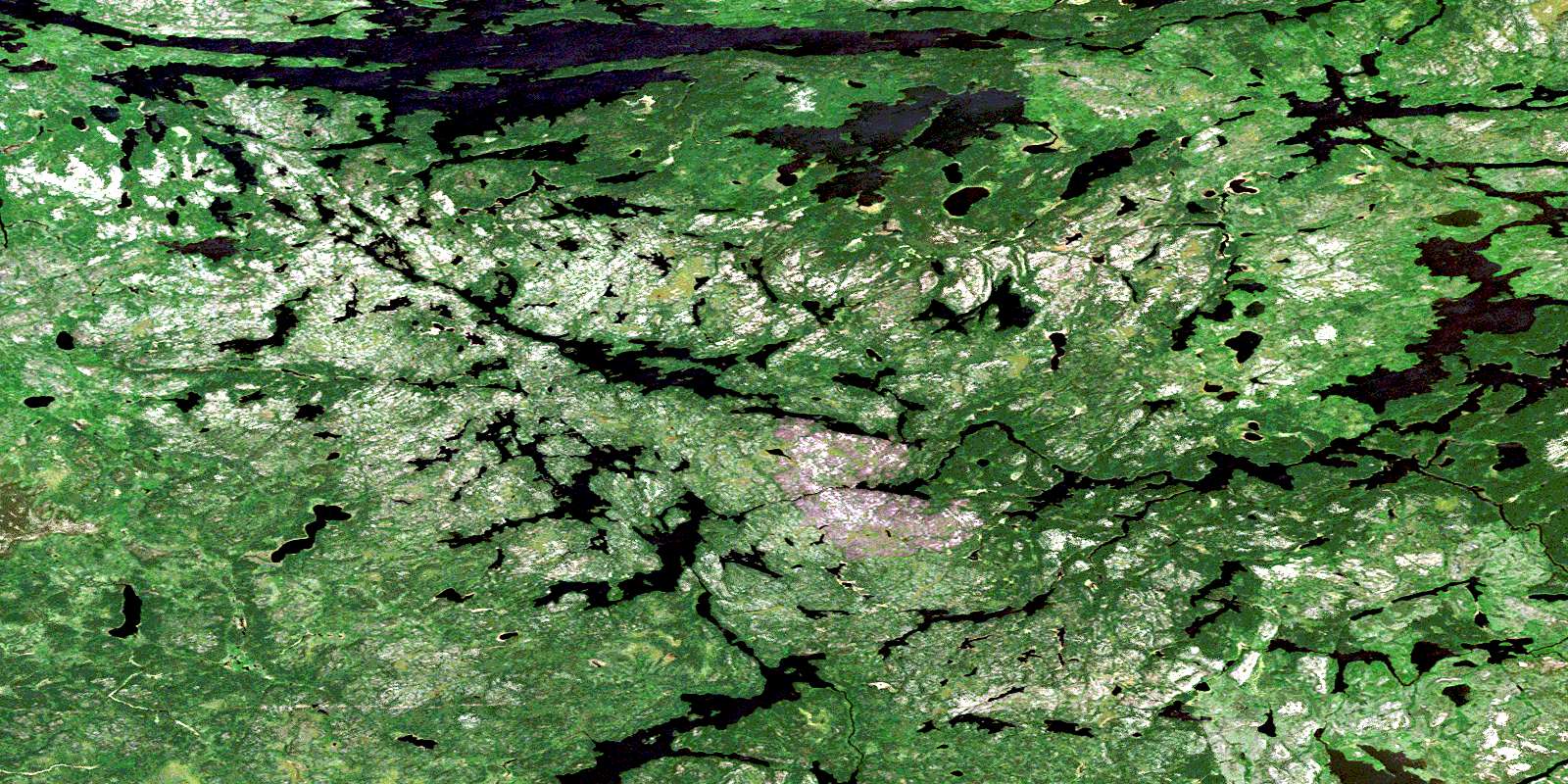
© Department of Natural Resources Canada. All rights reserved.
053F Related Maps:
053F Opasquia Lake053F01 Mizzay Bay
053F02 Fidler Lake
053F03 Kakapitam Lake
053F04 Colgrove Lake
053F05 Angekum Lake
053F06 Peekwachana Lake
053F07 Menaeko Lake
053F08 Osaokass Lake
053F09 Rottenfish River
053F10 Pasateko Lake
053F11 East Lake
053F12 Hayward Lake
053F13 Angling Lake
053F14 Seeber Lake
053F15 Pullan Lake
053F16 Sachigo Lake
