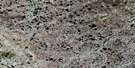
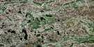
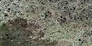
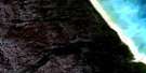
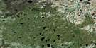
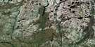
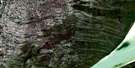
York Factory Satellite Image Map
Download Free Aerial Photo 054F01 at 1:50,000 scale
York Factory Satellite Imagery
To view this satellite map, mouse over the air photo on the right.
You can also download this satellite image map for free:
054F01 York Factory high-resolution satellite image map.
Maps for the York Factory aerial map sheet 054F01 at 1:50,000 scale are also available in these versions:
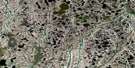
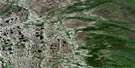
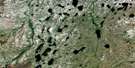
York Factory Surrounding Area Aerial Photo Maps
 |
 |
 |
|
 |
 |
 |
 |
 |
 |
 |
 |
 |
 |
 |
 |
© Department of Natural Resources Canada. All rights reserved.
York Factory Gazetteer
The following places can be found on satellite image map 054F01 York Factory:
York Factory Satellite Image: Bays
Port NelsonYork Factory Satellite Image: Capes
Marsh PointYork Factory Satellite Image: Islands
Hay IslandYork Factory Satellite Image: Conservation areas
Cape Churchill Wildlife Management AreaCape Tatnam Wildlife Management Area
Lieu historique national du Canada York Factory
Parc national du Canada Wapusk
Wapusk National Park of Canada
York Factory National Historic Site of Canada
York Factory Satellite Image: Rivers
Fleuve NelsonFountain Creek
French Creek
Hayes River
Machichi River
Maskakowan Creek
Ministikoskow Creek
Nelson River
Nonehkanakow Creek
Noochewaywun Creek
Paskisikawe Creek
Sam Creek
Wawao Creek
York Factory Satellite Image: Road features
Mostos PortageYork Factory Satellite Image: Unincorporated areas
York Factory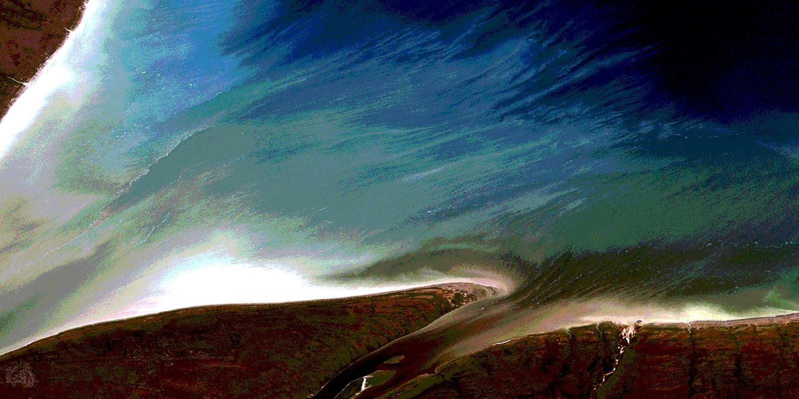
© Department of Natural Resources Canada. All rights reserved.
054F Related Maps:
054F York Factory054F01 York Factory
054F02 Woodcock Creek
054F03 No Title
054F04 Dewar Lake
054F05 Brezino Creek
054F06 Roberge Lake
054F07 White Bear Creek
054F08 No Title
054F09 No Title
054F10 Rupert Creek
054F11 Brady Lake
054F12 Hoot Creek
054F13 Beale Creek
054F14 Skidmore Lake
054F15 Owl River
