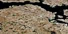
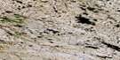
Cape Silumiut Satellite Image Map
Download Free Aerial Photo 055O09 at 1:50,000 scale
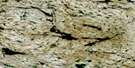
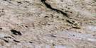
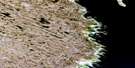
Cape Silumiut Satellite Imagery
To view this satellite map, mouse over the air photo on the right.
You can also download this satellite image map for free:
055O09 Cape Silumiut high-resolution satellite image map.
Maps for the Cape Silumiut aerial map sheet 055O09 at 1:50,000 scale are also available in these versions:
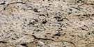
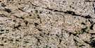
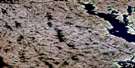
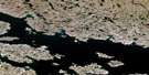
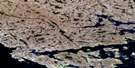
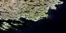
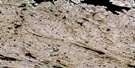
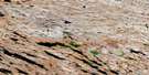
Cape Silumiut Surrounding Area Aerial Photo Maps
 |
 |
 |
 |
 |
 |
 |
 |
 |
 |
 |
|
 |
 |
 |
© Department of Natural Resources Canada. All rights reserved.
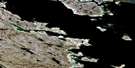
Cape Silumiut Gazetteer
The following places can be found on satellite image map 055O09 Cape Silumiut:
Cape Silumiut Satellite Image: Bays
Saqvaqjuaq InletWhitney Inlet
Cape Silumiut Satellite Image: Capes
Cape Silumiut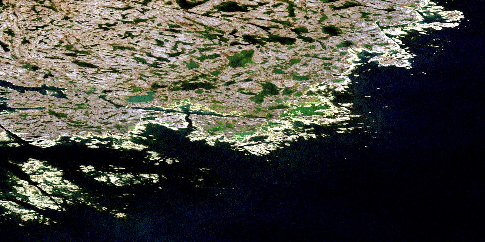
© Department of Natural Resources Canada. All rights reserved.
055O Related Maps:
055O Chesterfield Inlet055O02 Fairway Island
055O03 No Title
055O04 Parallel Lake
055O05 No Title
055O06 Ellis Island
055O07 No Title
055O09 Cape Silumiut
055O10 Hanbury Island
055O11 Merry Headland
055O12 Steep Bank Bay
055O13 Richard Lake
055O14 No Title
055O15 No Title
055O16 Winchester Inlet
