Hazard Hills Satellite Image Map
Download Free Aerial Photo 056B10 at 1:50,000 scale
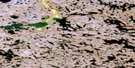
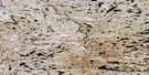
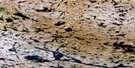
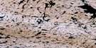
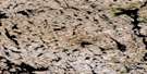
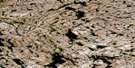
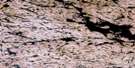
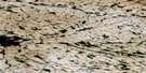
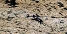
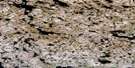
Hazard Hills Satellite Imagery
To view this satellite map, mouse over the air photo on the right.
You can also download this satellite image map for free:
056B10 Hazard Hills high-resolution satellite image map.
Maps for the Hazard Hills aerial map sheet 056B10 at 1:50,000 scale are also available in these versions:
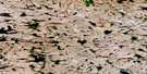
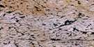
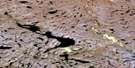
Hazard Hills Surrounding Area Aerial Photo Maps
 |
 |
 |
 |
 |
 |
 |
 |
 |
 |
 |
 |
 |
 |
 |
 |
© Department of Natural Resources Canada. All rights reserved.
Hazard Hills Gazetteer
The following places can be found on satellite image map 056B10 Hazard Hills:
Hazard Hills Satellite Image: Mountains
Hazard HillsHazard Hills Satellite Image: Rivers
Lorillard River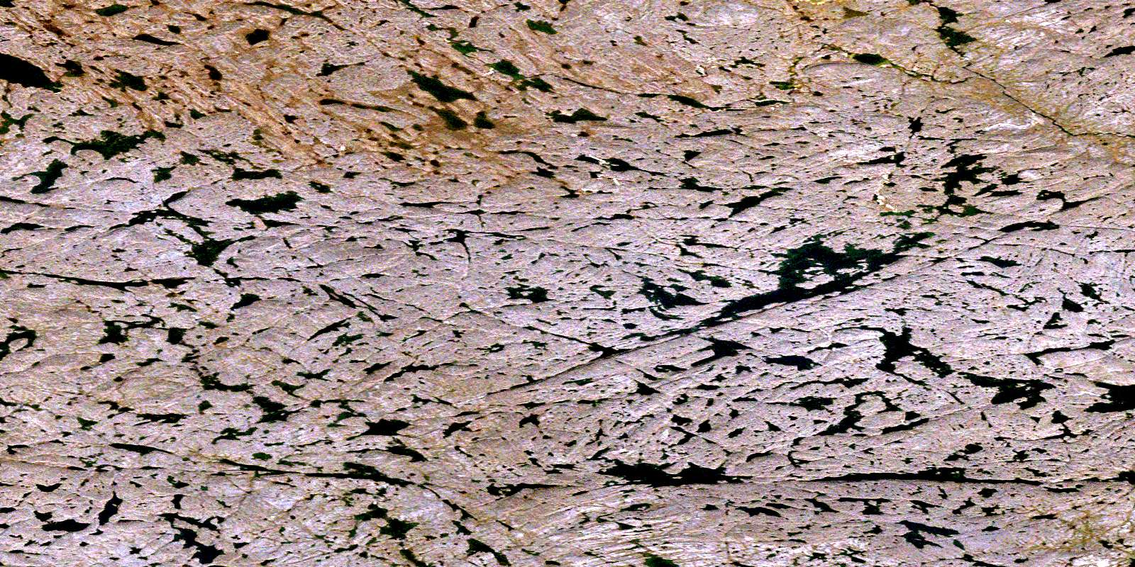
© Department of Natural Resources Canada. All rights reserved.
