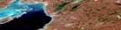
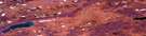
Kate Hill Satellite Image Map
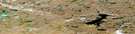
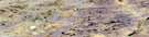
Download Free Aerial Photo 057B15 at 1:50,000 scale
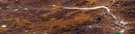
Kate Hill Satellite Imagery
To view this satellite map, mouse over the air photo on the right.
You can also download this satellite image map for free:
057B15 Kate Hill high-resolution satellite image map.
Maps for the Kate Hill aerial map sheet 057B15 at 1:50,000 scale are also available in these versions:
Kate Hill Surrounding Area Aerial Photo Maps
 |
 |
 |
 |
 |
 |
 |
 |
 |
 |
 |
 |
 |
 |
 |
 |
© Department of Natural Resources Canada. All rights reserved.
Kate Hill Gazetteer
The following places can be found on satellite image map 057B15 Kate Hill:
Kate Hill Satellite Image: Bays
Rasmussen BasinShepherd Bay
Kate Hill Satellite Image: Capes
Aulatsivik PointSaattuq Peninsula
Wilkins Point
Kate Hill Satellite Image: Lakes
Amitjok LakeIqalugaqtujuq Lake
Kate Hill Satellite Image: Mountains
Kate HillKinngarjuaq Hill
Ross Hills
Kate Hill Satellite Image: Rivers
Ikpigaarjuk River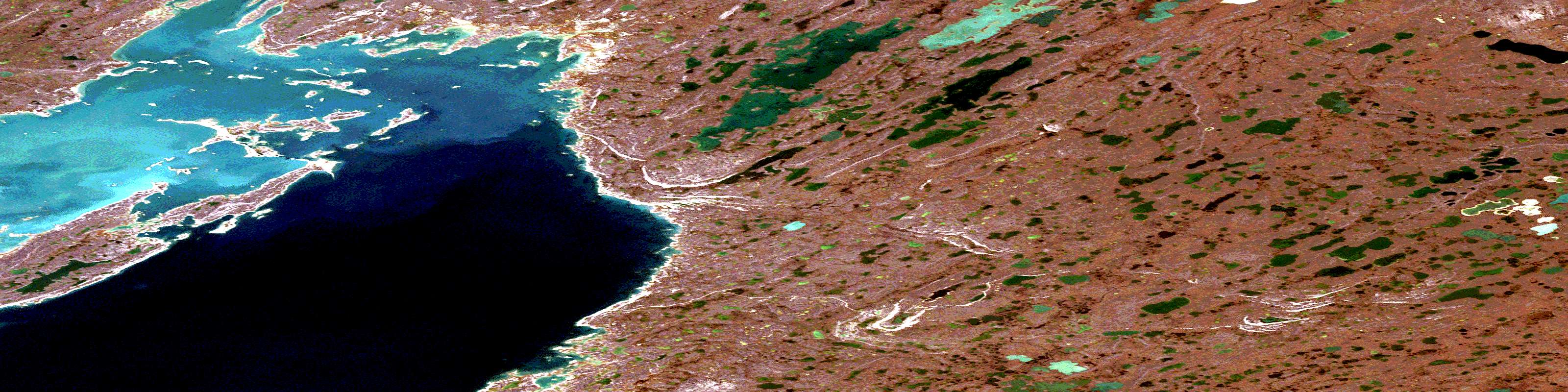
© Department of Natural Resources Canada. All rights reserved.
057B Related Maps:
057B Rae Strait057B01 Murchison Lake
057B02 No Title
057B03 No Title
057B04 Cape Britannia
057B05W Hovgaard Islands
057B06 Cape Selkirk
057B07 Castor And Pollux River
057B08 No Title
057B09 Frances Hill
057B10 Inglis River
057B11 Brenda Island
057B12E Gjoa Haven
057B12W Gjoa Haven
057B13E Gibson Peninsula
057B13W Gibson Peninsula
057B14 Beads Island
057B15 Kate Hill
057B16 No Title
