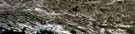
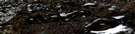
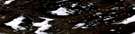
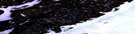
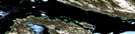
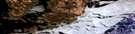
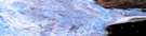
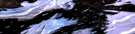
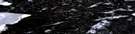
Cape Isabella Satellite Image Map
Download Free Aerial Photo 057C07 at 1:50,000 scale
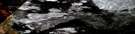
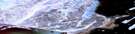
Cape Isabella Satellite Imagery
To view this satellite map, mouse over the air photo on the right.
You can also download this satellite image map for free:
057C07 Cape Isabella high-resolution satellite image map.
Maps for the Cape Isabella aerial map sheet 057C07 at 1:50,000 scale are also available in these versions:
Cape Isabella Surrounding Area Aerial Photo Maps
 |
 |
 |
 |
 |
 |
 |
 |
 |
 |
 |
 |
 |
 |
 |
 |
© Department of Natural Resources Canada. All rights reserved.
Cape Isabella Gazetteer
The following places can be found on satellite image map 057C07 Cape Isabella:
Cape Isabella Satellite Image: Bays
Hull BayQinnguq Bay
Spence Bay
Willersted Inlet
Cape Isabella Satellite Image: Capes
Boothia IsthmusBoothia Peninsula
Cape Isabella
Iglutalik Point
Ikaujatjak Point
Tikirarjuannuaq Point
Tikirarjuaq Point
Cape Isabella Satellite Image: Channels
St. Roch BasinCape Isabella Satellite Image: Islands
Imilik IslandCape Isabella Satellite Image: Lakes
Amitsuarjuk LakeNetsilik Lake
Pangnikto Lake
Qikiqtaqtuuq Lake
Cape Isabella Satellite Image: Mountains
Niaqurnaq HillCape Isabella Satellite Image: Rivers
Netsilik River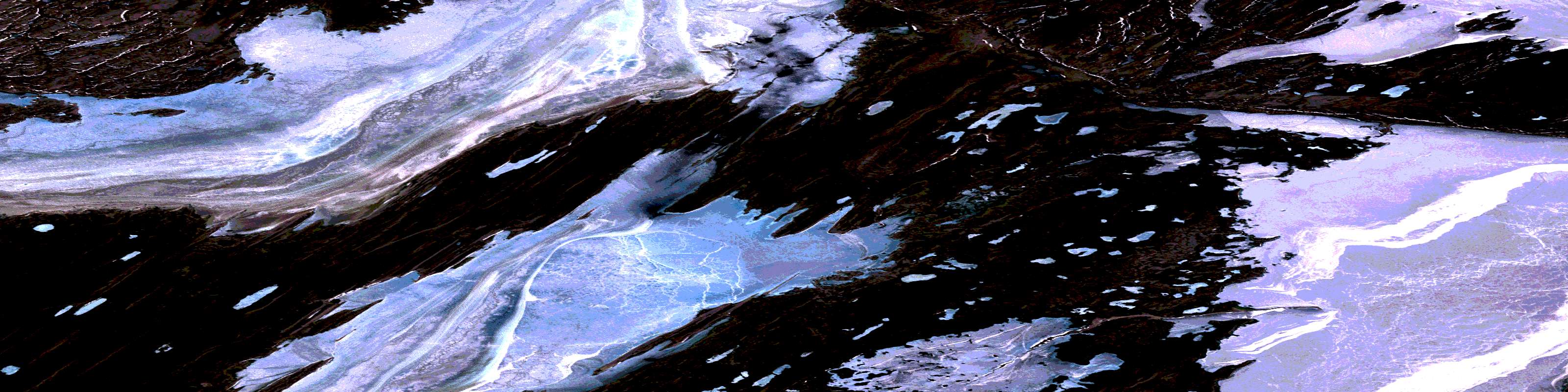
© Department of Natural Resources Canada. All rights reserved.
057C Related Maps:
057C Spence Bay057C01 Lady Melville Lake
057C02 No Title
057C03 Cape Porter
057C04 Latrobe Bay
057C05 Cape Hardy
057C06 Cape Farrar
057C07 Cape Isabella
057C08 No Title
057C09 Sagvak Inlet
057C10 Stanners Harbour
057C11 Artists Bay
057C12 Cape Maria Da Gloria
057C13 Oscar Bay
057C14 Garry Falls
057C15 Peregrine Bluff
057C16 Felix Harbour
