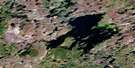
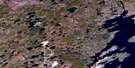
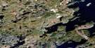
Killock Bay Satellite Image Map
Download Free Aerial Photo 064L11 at 1:50,000 scale
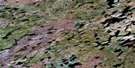
Killock Bay Satellite Imagery
To view this satellite map, mouse over the air photo on the right.
You can also download this satellite image map for free:
064L11 Killock Bay high-resolution satellite image map.
Maps for the Killock Bay aerial map sheet 064L11 at 1:50,000 scale are also available in these versions:
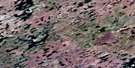
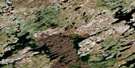
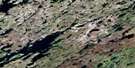
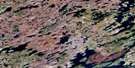
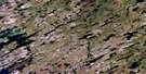
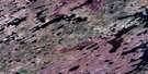
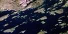
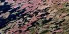
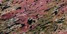
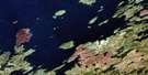
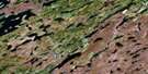
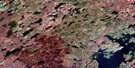
Killock Bay Surrounding Area Aerial Photo Maps
 |
 |
 |
 |
 |
 |
 |
 |
 |
 |
 |
 |
 |
 |
 |
 |
© Department of Natural Resources Canada. All rights reserved.
Killock Bay Gazetteer
The following places can be found on satellite image map 064L11 Killock Bay:
Killock Bay Satellite Image: Bays
Killock BayWellbelove Bay
Killock Bay Satellite Image: Capes
Moore PointWheeler Peninsula
Killock Bay Satellite Image: Channels
Ross ChannelKillock Bay Satellite Image: Islands
Crozier IslandFife Island
Kendel Island
Lejour Island
Usam Island
Killock Bay Satellite Image: Lakes
Bryden LakeCarson Lake
Germiquet Lake
Knoke Lake
Manson Lake
Scrimes Lake
Thrift Lake
Wheeler Lake
Wollaston Lake
Killock Bay Satellite Image: Rivers
Cochrane River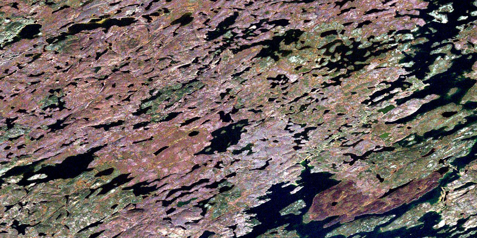
© Department of Natural Resources Canada. All rights reserved.
064L Related Maps:
064L Wollaston Lake064L01 Zangeza Bay
064L02 Fidler Bay
064L03 Hungry Island
064L04 Hidden Bay
064L05 Cunning Bay
064L06 Fife Island
064L07 Klemmer Lake
064L08 Metka Lake
064L09 Sava Lake
064L10 Wellbelove Bay
064L11 Killock Bay
064L12 Hatchet Lake
064L13 Babiche Lake
064L14 Bentley Lake
064L15 Bannock Lake
064L16 Charcoal Lake
