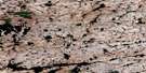
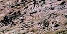
Dolby Lake Satellite Image Map
Download Free Aerial Photo 065E05 at 1:50,000 scale
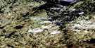
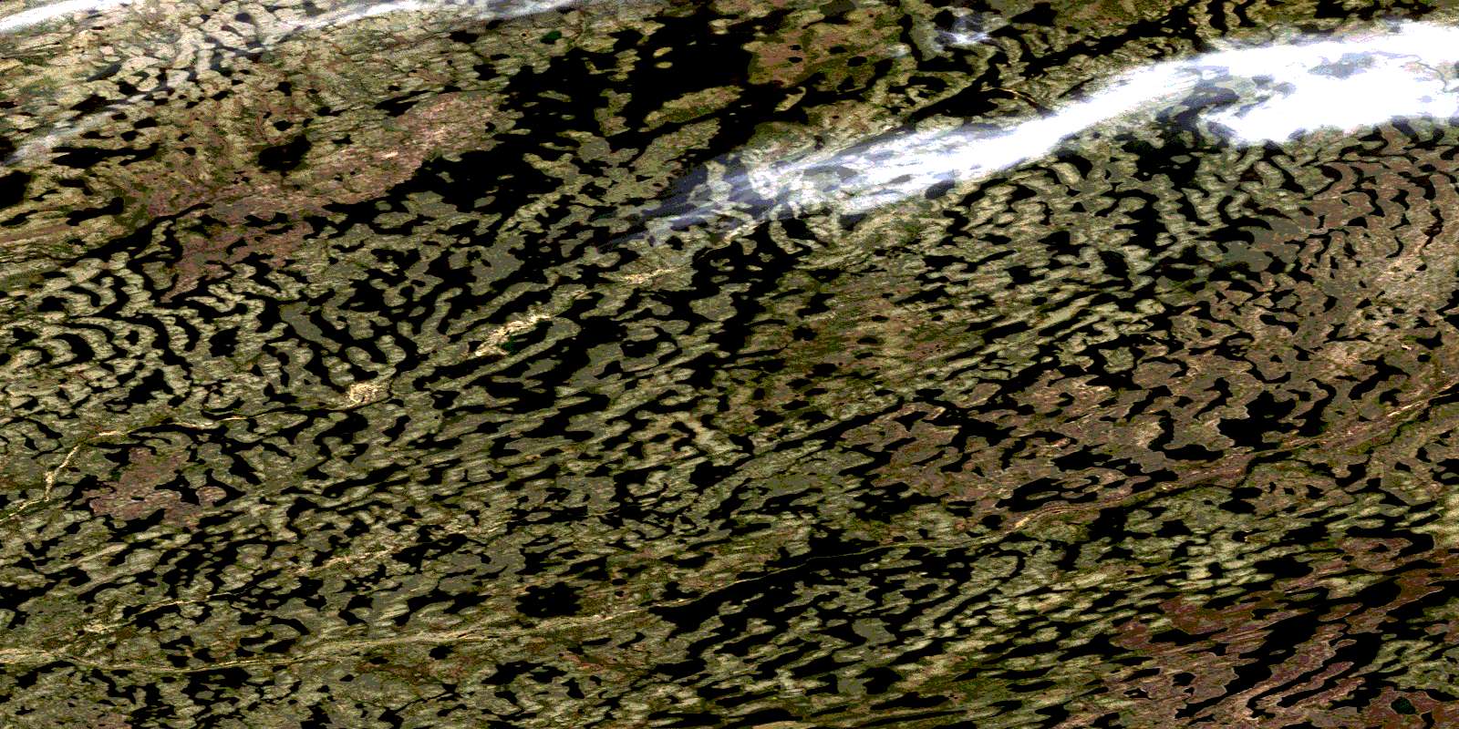
Dolby Lake Satellite Imagery
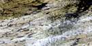
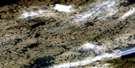
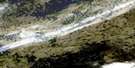
To view this satellite map, mouse over the air photo on the right.
You can also download this satellite image map for free:
065E05 Dolby Lake high-resolution satellite image map.
Maps for the Dolby Lake aerial map sheet 065E05 at 1:50,000 scale are also available in these versions:
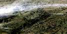
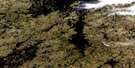
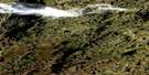
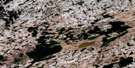
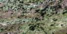
Dolby Lake Surrounding Area Aerial Photo Maps
 |
 |
 |
 |
 |
 |
 |
 |
 |
 |
 |
 |
 |
 |
 |
 |
© Department of Natural Resources Canada. All rights reserved.
Dolby Lake Gazetteer
The following places can be found on satellite image map 065E05 Dolby Lake:
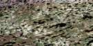
Dolby Lake Satellite Image: Lakes
Boyd LakeDolby Lake
© Department of Natural Resources Canada. All rights reserved.
065E Related Maps:
065E Boyd Lake065E01 Mallet Lake
065E02 Three Wives Lake
065E03 Ridgers Lake
065E04 Hinde Lake
065E05 Dolby Lake
065E06 Arnot Lake
065E07 Casimir Island
065E08 Taitna Lake
065E09 Blue Island
065E10 Kakarmik Lake
065E11 Nicol Lake
065E12 Nixon Lake
065E13 No Title
065E14 No Title
065E15 Enekatcha Lake
065E16 Blue Lake
