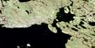
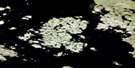
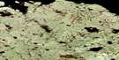
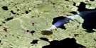
Weasel Point Satellite Image Map
Download Free Aerial Photo 065I06 at 1:50,000 scale
Weasel Point Satellite Imagery
To view this satellite map, mouse over the air photo on the right.
You can also download this satellite image map for free:
065I06 Weasel Point high-resolution satellite image map.
Maps for the Weasel Point aerial map sheet 065I06 at 1:50,000 scale are also available in these versions:
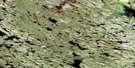
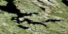
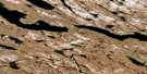
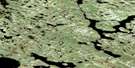
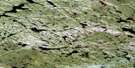
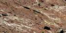
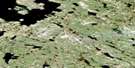
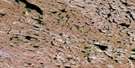
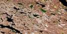
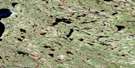
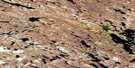
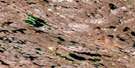
Weasel Point Surrounding Area Aerial Photo Maps
 |
 |
 |
 |
 |
 |
 |
 |
 |
 |
 |
 |
 |
 |
 |
 |
© Department of Natural Resources Canada. All rights reserved.
Weasel Point Gazetteer
The following places can be found on satellite image map 065I06 Weasel Point:
Weasel Point Satellite Image: Bays
Tyrrell ArmWeasel Point Satellite Image: Capes
Weasel PointWeasel Point Satellite Image: Lakes
Yathkyed LakeWeasel Point Satellite Image: Rivers
Kogtok River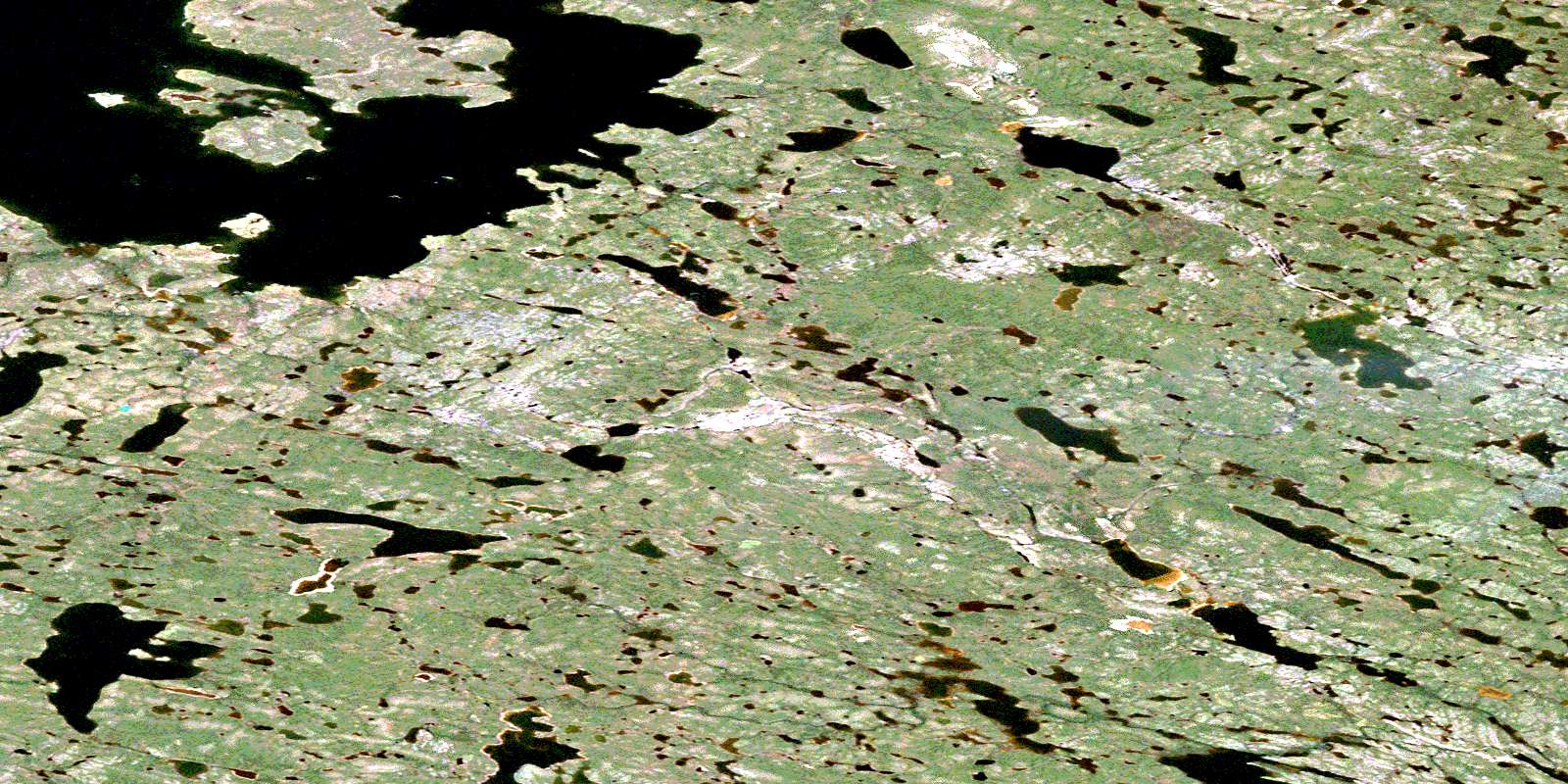
© Department of Natural Resources Canada. All rights reserved.
065I Related Maps:
065I Ferguson Lake065I01 Trud Lake
065I02 No Title
065I03 No Title
065I04 No Title
065I05 No Title
065I06 Weasel Point
065I07 No Title
065I08 No Title
065I09 No Title
065I10 No Title
065I11 No Title
065I12 Cairn Point
065I13 No Title
065I14 No Title
065I15 Uligattalik Hill
065I16 Utsuviattalik Hill
