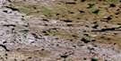
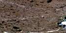
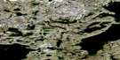
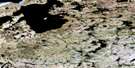
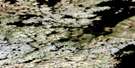
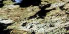
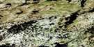
Mary Lake Satellite Image Map
Download Free Aerial Photo 065L05 at 1:50,000 scale
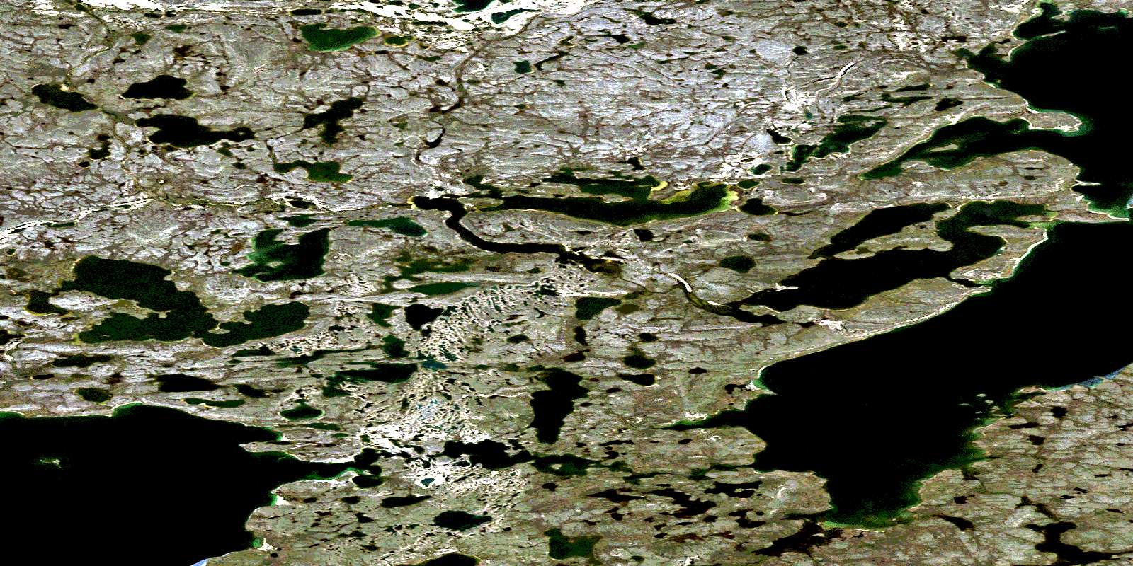
Mary Lake Satellite Imagery
To view this satellite map, mouse over the air photo on the right.
You can also download this satellite image map for free:
065L05 Mary Lake high-resolution satellite image map.
Maps for the Mary Lake aerial map sheet 065L05 at 1:50,000 scale are also available in these versions:
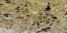
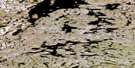
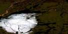
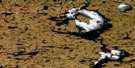
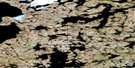
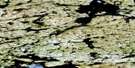
Mary Lake Surrounding Area Aerial Photo Maps
 |
 |
 |
 |
 |
 |
 |
 |
 |
 |
 |
 |
 |
 |
 |
 |
© Department of Natural Resources Canada. All rights reserved.
Mary Lake Gazetteer
The following places can be found on satellite image map 065L05 Mary Lake:
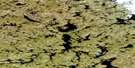
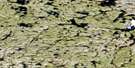
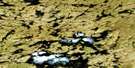
Mary Lake Satellite Image: Lakes
Gravel Hill LakeMary Lake
Sid Lake
© Department of Natural Resources Canada. All rights reserved.
065L Related Maps:
065L Carey Lake065L01 No Title
065L02 No Title
065L03 No Title
065L04 Gravel Hill Lake
065L05 Mary Lake
065L06 Ecklund Lake
065L07 No Title
065L08 Little Rocky Lake
065L09 No Title
065L10 Nicholson Lake
065L11 Mosquito Lake
065L12 No Title
065L13 No Title
065L14 No Title
065L15 No Title
065L16 No Title
