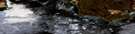
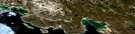
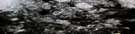
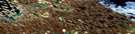
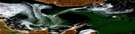
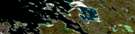
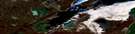
Simpson Strait Satellite Image Map
Download Free Aerial Photo 067A10 at 1:50,000 scale
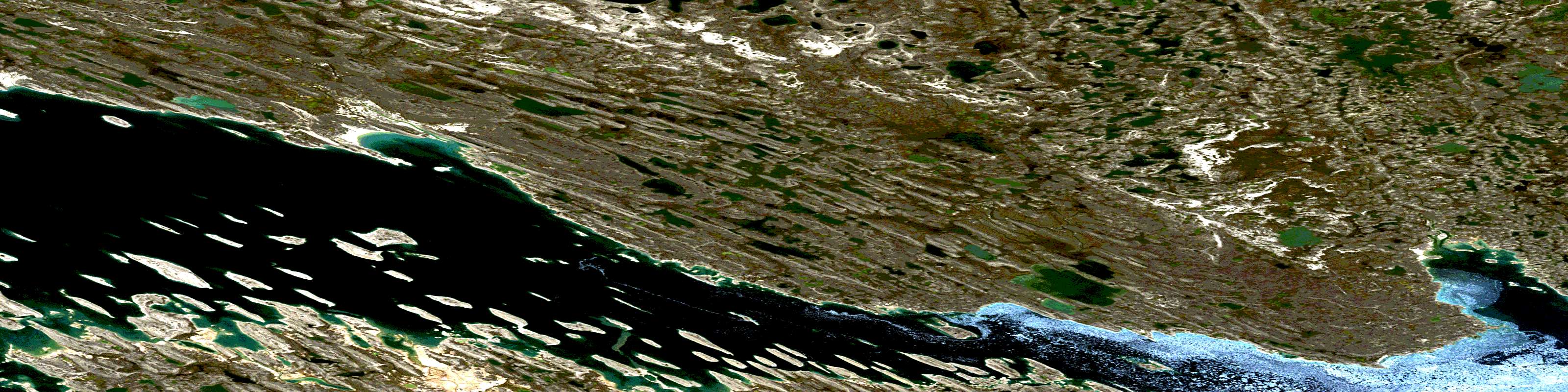
Simpson Strait Satellite Imagery
To view this satellite map, mouse over the air photo on the right.
You can also download this satellite image map for free:
067A10 Simpson Strait high-resolution satellite image map.
Maps for the Simpson Strait aerial map sheet 067A10 at 1:50,000 scale are also available in these versions:
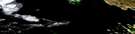
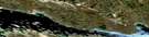
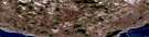
Simpson Strait Surrounding Area Aerial Photo Maps
 |
 |
 |
 |
 |
 |
 |
 |
 |
 |
 |
 |
 |
 |
 |
© Department of Natural Resources Canada. All rights reserved.
Simpson Strait Gazetteer
The following places can be found on satellite image map 067A10 Simpson Strait:
Simpson Strait Satellite Image: Bays
Douglas BayKnud Inlet
McGillivray Bay
M'Clintock Bay
Queen Maud Gulf
Secchi Bay
Simpson Strait Satellite Image: Capes
Adelaide PeninsulaAmittuq Point
Cape Geddes
Cape Seaforth
Gladman Point
Mitalik Peninsula
Peabody Point
Peglar Point
Tulloch Point
Simpson Strait Satellite Image: Channels
Simpson StraitSimpson Strait Satellite Image: Islands
Albert IslandAlicia Island
Bear and Cubs
Beaver Island
Boulder Island
Castor Island
Catherine Island
Chenille Island
Club Island
Comb Islands
Dens Island
Dolphin Island
Eta Island
Hobson Island
Hook Island
Kilwinning Island
King William Island
Minor Island
Petersen Island
Pirogue Island
Pollux Island
Ristvedt Island
Saatuq Island
Salliq Island
Sarvaq Island
St. Magnus Island
Taupe Island
Trowel Island
Ujarat Island
Zigzag Island
Simpson Strait Satellite Image: Lakes
Malerualik LakeSimpson Strait Satellite Image: Rivers
Douglas RiverMalerualik River
© Department of Natural Resources Canada. All rights reserved.
067A Related Maps:
067A Simpson Strait067A01 Maconochie Island
067A02 No Title
067A03 Longfellow Inlet
067A05E No Title
067A06E No Title
067A06W No Title
067A07E Knud Inlet
067A07W Knud Inlet
067A08E Todd Islands
067A08W Todd Islands
067A09E Koka Lake
067A09W Koka Lake
067A10E Simpson Strait
067A10W Simpson Strait
067A11E Cape John Herschel
067A12E No Title
067A12W No Title
067A13 Hornby Island
067A14 Washington Bay
067A15 No Title
067A16 Tasekyoak Lake
