King Christian Island West Satellite Image Map
Download Free Aerial Photo 069C14 at 1:50,000 scale
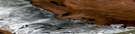
King Christian Island West Satellite Imagery
To view this satellite map, mouse over the air photo on the right.
You can also download this satellite image map for free:
069C14 King Christian Island West high-resolution satellite image map.
Maps for the King Christian Island West aerial map sheet 069C14 at 1:50,000 scale are also available in these versions:
King Christian Island West Surrounding Area Aerial Photo Maps
 |
 |
||
 |
|||
 |
© Department of Natural Resources Canada. All rights reserved.
King Christian Island West Gazetteer
The following places can be found on satellite image map 069C14 King Christian Island West:
King Christian Island West Satellite Image: Islands
Sverdrup Islands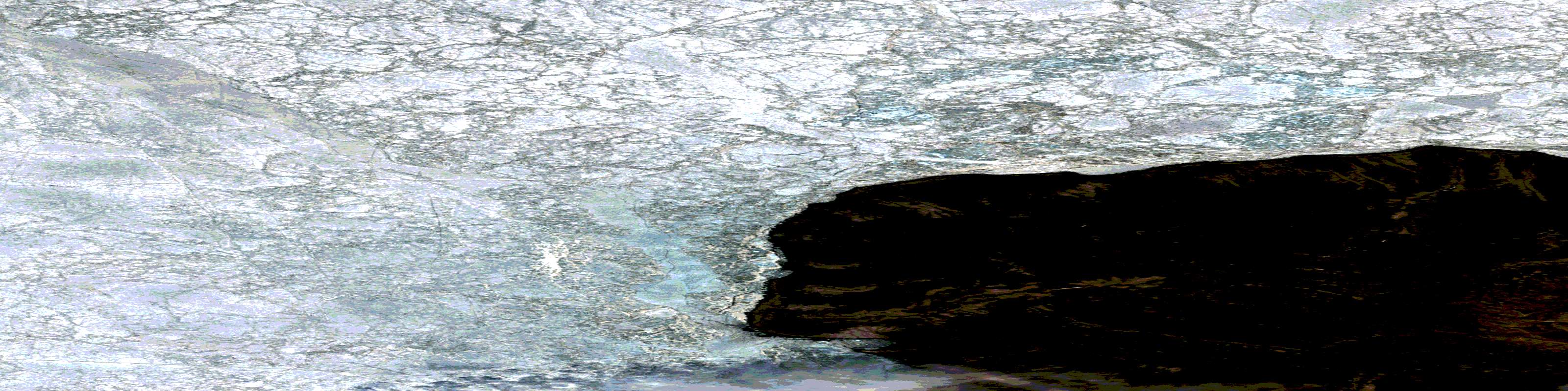
© Department of Natural Resources Canada. All rights reserved.
