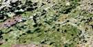
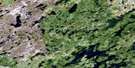
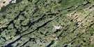
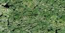
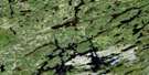
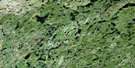
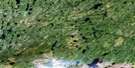
Middle Foster Lake Satellite Image Map
Download Free Aerial Photo 074A11 at 1:50,000 scale
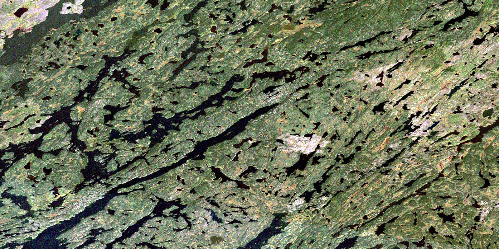
Middle Foster Lake Satellite Imagery
To view this satellite map, mouse over the air photo on the right.
You can also download this satellite image map for free:
074A11 Middle Foster Lake high-resolution satellite image map.
Maps for the Middle Foster Lake aerial map sheet 074A11 at 1:50,000 scale are also available in these versions:
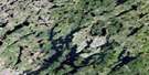
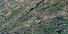
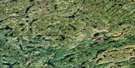
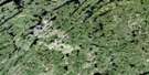
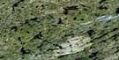
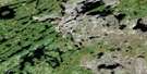
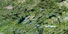
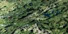
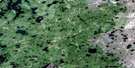
Middle Foster Lake Surrounding Area Aerial Photo Maps
 |
 |
 |
 |
 |
 |
 |
 |
 |
 |
 |
 |
 |
 |
 |
 |
© Department of Natural Resources Canada. All rights reserved.
Middle Foster Lake Gazetteer
The following places can be found on satellite image map 074A11 Middle Foster Lake:
Middle Foster Lake Satellite Image: Bays
Clinch BayKemp Bay
MacDonald Bay
Middle Foster Lake Satellite Image: Islands
Partridge IslandMiddle Foster Lake Satellite Image: Lakes
Anderson LakeAstleford Lake
Besse Lakes
Bonville Lake
Burbidge Lake
Burnard Lake
Chatwin Lake
Kaun Lake
Kostyshyn Lake
Kotelmach Lake
Krasiun Lake
Kulyk Lakes
Lapointe Lake
Lower Foster Lake
MacPherson Lake
Middle Foster Lake
Oldford Lake
Upper Foster Lake
Wilt Lake
Middle Foster Lake Satellite Image: Rapids
Grand RapidsScollon Rapids
© Department of Natural Resources Canada. All rights reserved.
074A Related Maps:
074A Upper Foster Lake074A01 Maribelli Lake
074A02 Paull Lake
074A03 Nagle Lake
074A04 Hewetson Lake
074A05 Pylypow Lake
074A06 Barnett Lake
074A07 Rottenstone Lake
074A08 Hickson Lake
074A09 Deception Lake
074A10 Dobbin Lake
074A11 Middle Foster Lake
074A12 Daly Lake
074A13 Costigan Lake
074A14 Burbidge Lake
074A15 Pendleton Lake
074A16 Jewell Lake
