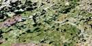
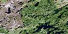
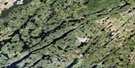
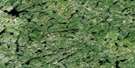
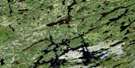
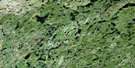
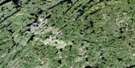
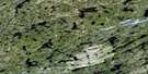
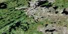
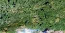
Pylypow Lake Satellite Image Map
Download Free Aerial Photo 074A05 at 1:50,000 scale
Pylypow Lake Satellite Imagery
To view this satellite map, mouse over the air photo on the right.
You can also download this satellite image map for free:
074A05 Pylypow Lake high-resolution satellite image map.
Maps for the Pylypow Lake aerial map sheet 074A05 at 1:50,000 scale are also available in these versions:
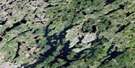
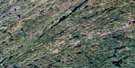
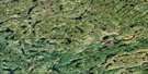
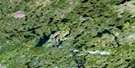
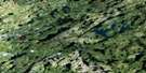
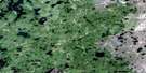
Pylypow Lake Surrounding Area Aerial Photo Maps
 |
 |
 |
 |
 |
 |
 |
 |
 |
 |
 |
 |
 |
 |
 |
 |
© Department of Natural Resources Canada. All rights reserved.
Pylypow Lake Gazetteer
The following places can be found on satellite image map 074A05 Pylypow Lake:
Pylypow Lake Satellite Image: Bays
Roper BayWelshBay
Pylypow Lake Satellite Image: Lakes
Cornwell LakeDaly Lake
Lower Foster Lake
Mackie Lake
Mark Lake
Pylypow Lake
Rondow Lake
Stover Lake
Suttle Lake
Willis Lake
Pylypow Lake Satellite Image: Conservation areas
Northern Provincial ForestPylypow Lake Satellite Image: Rapids
Fraser RapidsJones Rapids
Lewis Rapids
Welsh Rapids
Pylypow Lake Satellite Image: Rivers
Foster River
© Department of Natural Resources Canada. All rights reserved.
074A Related Maps:
074A Upper Foster Lake074A01 Maribelli Lake
074A02 Paull Lake
074A03 Nagle Lake
074A04 Hewetson Lake
074A05 Pylypow Lake
074A06 Barnett Lake
074A07 Rottenstone Lake
074A08 Hickson Lake
074A09 Deception Lake
074A10 Dobbin Lake
074A11 Middle Foster Lake
074A12 Daly Lake
074A13 Costigan Lake
074A14 Burbidge Lake
074A15 Pendleton Lake
074A16 Jewell Lake
