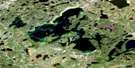
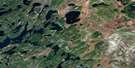
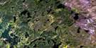
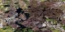
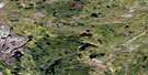
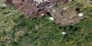
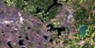
Grand Rapids Satellite Image Map
Download Free Aerial Photo 074B11 at 1:50,000 scale
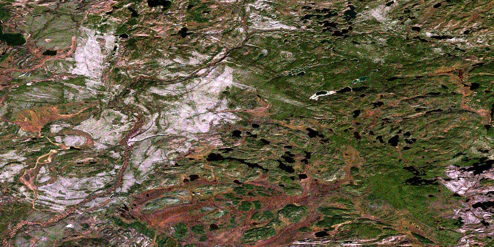
Grand Rapids Satellite Imagery
To view this satellite map, mouse over the air photo on the right.
You can also download this satellite image map for free:
074B11 Grand Rapids high-resolution satellite image map.
Maps for the Grand Rapids aerial map sheet 074B11 at 1:50,000 scale are also available in these versions:
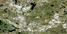
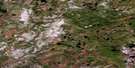
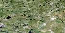
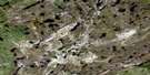
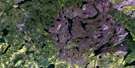
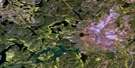
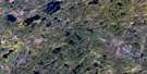
Grand Rapids Surrounding Area Aerial Photo Maps
 |
 |
 |
 |
 |
 |
 |
 |
 |
 |
 |
 |
 |
 |
 |
 |
© Department of Natural Resources Canada. All rights reserved.
Grand Rapids Gazetteer
The following places can be found on satellite image map 074B11 Grand Rapids:
Grand Rapids Satellite Image: Lakes
Baker LakeEaglestone Lake
Finnie Lake
Hilbach Lake
Loveridge Lake
Strongquill Lake
Grand Rapids Satellite Image: Rapids
Grand RapidsLittle Grand Rapids
Grand Rapids Satellite Image: Rivers
Girard CreekHeddery Creek
Mudjatik River
© Department of Natural Resources Canada. All rights reserved.
074B Related Maps:
074B Mudjatik River074B01 George Lake
074B02 Cup Lake
074B03 Studer Lake
074B04 Little Flatstone Lake
074B05 Gillies Lake
074B06 Porter Lake
074B07 Complex Lake
074B08 Norbert Lake
074B09 Smalley Lake
074B10 Boffa Lake
074B11 Grand Rapids
074B12 Heddery Lake
074B13 Black Birch Lake
074B14 Gwillim Lake
074B15 Desnomie Lakes
074B16 Haultain Lake
