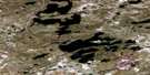
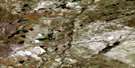
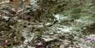
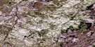
Pasfield Lake Satellite Image Map
Download Free Aerial Photo 074I06 at 1:50,000 scale
Pasfield Lake Satellite Imagery
To view this satellite map, mouse over the air photo on the right.
You can also download this satellite image map for free:
074I06 Pasfield Lake high-resolution satellite image map.
Maps for the Pasfield Lake aerial map sheet 074I06 at 1:50,000 scale are also available in these versions:
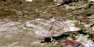
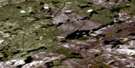
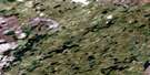
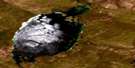
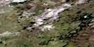
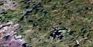
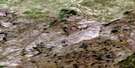
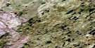
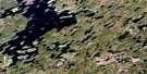
Pasfield Lake Surrounding Area Aerial Photo Maps
 |
 |
 |
 |
 |
 |
 |
 |
 |
 |
 |
 |
 |
 |
 |
 |
© Department of Natural Resources Canada. All rights reserved.
Pasfield Lake Gazetteer
The following places can be found on satellite image map 074I06 Pasfield Lake:
Pasfield Lake Satellite Image: Bays
Campbell BayGreen Bay
Pasfield Lake Satellite Image: Capes
Smith PeninsulaPasfield Lake Satellite Image: Islands
Smith IslandPasfield Lake Satellite Image: Lakes
Pasfield LakePasfield Lake Satellite Image: Rivers
Badwater River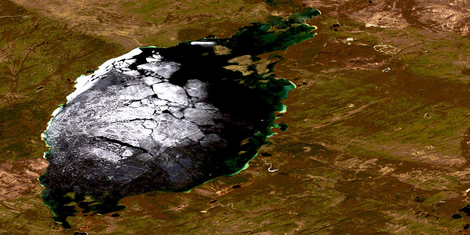
© Department of Natural Resources Canada. All rights reserved.
074I Related Maps:
074I Pasfield Lake074I01 Waterbury Lake
074I02 Blixrud Lake
074I03 Nichol Lake
074I04 Little Cree River
074I05 Rapid River
074I06 Pasfield Lake
074I07 Theriau Lake
074I08 Henday Lake
074I09 Waterfound River
074I10 Ward Lakes
074I11 Granger Lake
074I12 Poitras Lake
074I13 Wapata Lake
074I14 Umfreville Lake
074I15 Pattyson Lake
074I16 Kosdaw Lake
