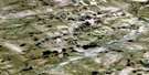
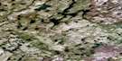
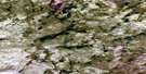
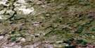
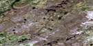
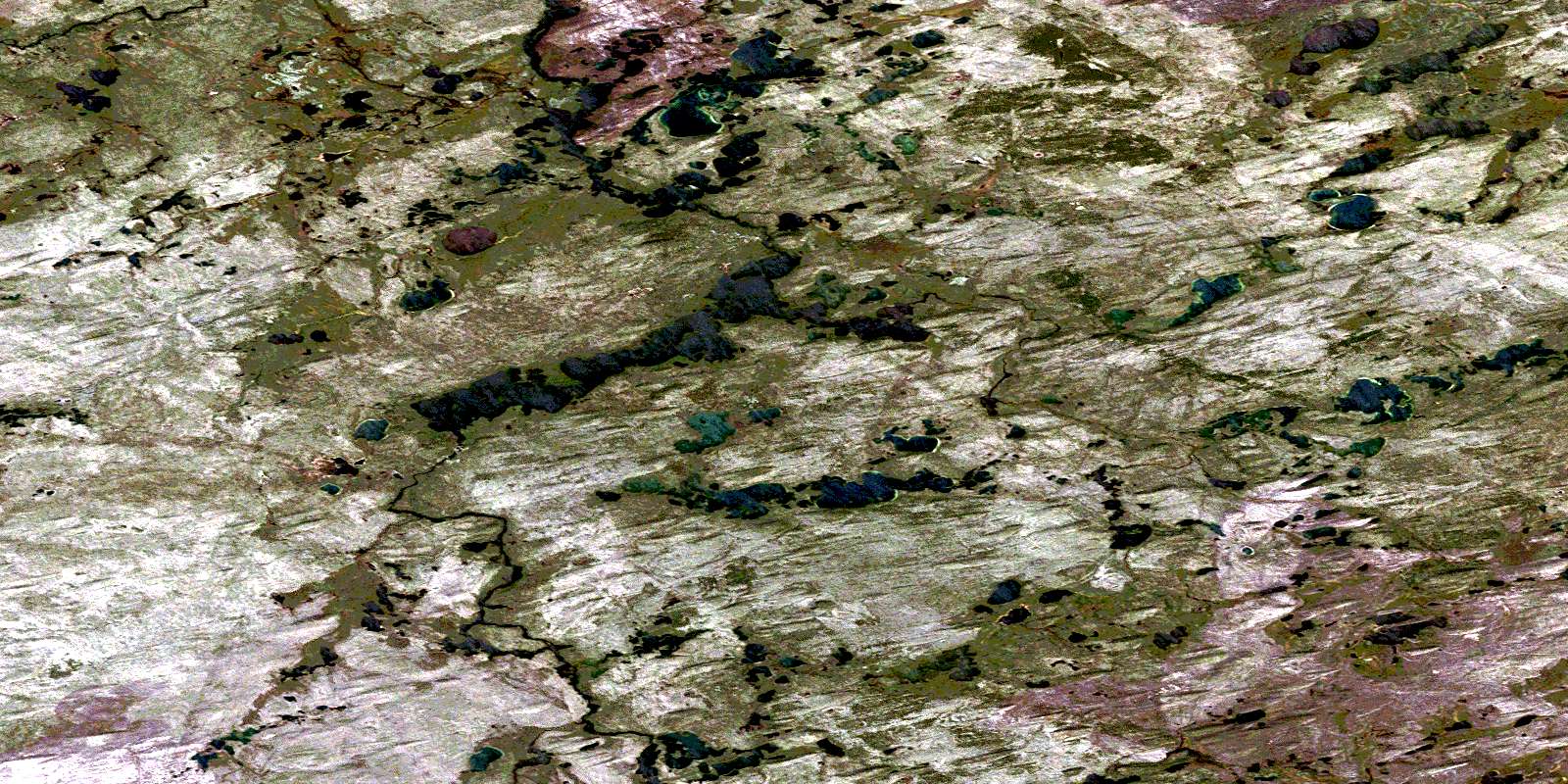
Brudell Lake Satellite Image Map
Download Free Aerial Photo 074J04 at 1:50,000 scale
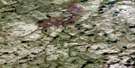
Brudell Lake Satellite Imagery
To view this satellite map, mouse over the air photo on the right.
You can also download this satellite image map for free:
074J04 Brudell Lake high-resolution satellite image map.
Maps for the Brudell Lake aerial map sheet 074J04 at 1:50,000 scale are also available in these versions:
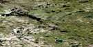
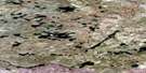
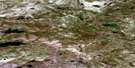
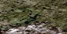
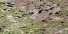
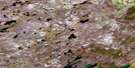
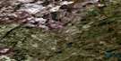
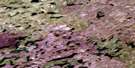
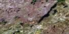
Brudell Lake Surrounding Area Aerial Photo Maps
 |
 |
 |
 |
 |
 |
 |
 |
 |
 |
 |
 |
 |
 |
 |
 |
© Department of Natural Resources Canada. All rights reserved.
Brudell Lake Gazetteer
The following places can be found on satellite image map 074J04 Brudell Lake:
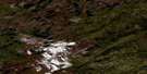
Brudell Lake Satellite Image: Lakes
Brudell LakeEns Lake
Johnston Lake
Nelson Lake
Brudell Lake Satellite Image: Rivers
MacFarlane RiverMarsin River
© Department of Natural Resources Canada. All rights reserved.
074J Related Maps:
074J Livingstone Lake074J01 Rotariu Lake
074J02 Sanderson Lake
074J03 Bernard Lake
074J04 Brudell Lake
074J05 Snare Lake
074J06 Weeres Lake
074J07 Rumpel Lake
074J08 Thomson Lake
074J09 Hartney Lake
074J10 Birkbeck Lake
074J11 Livingstone Lake
074J12 Birney Lake
074J13 Urton Lake
074J14 Squirrel Lake
074J15 Gardipee Lake
074J16 Lawrysyn Lake
