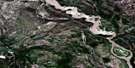
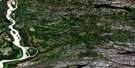
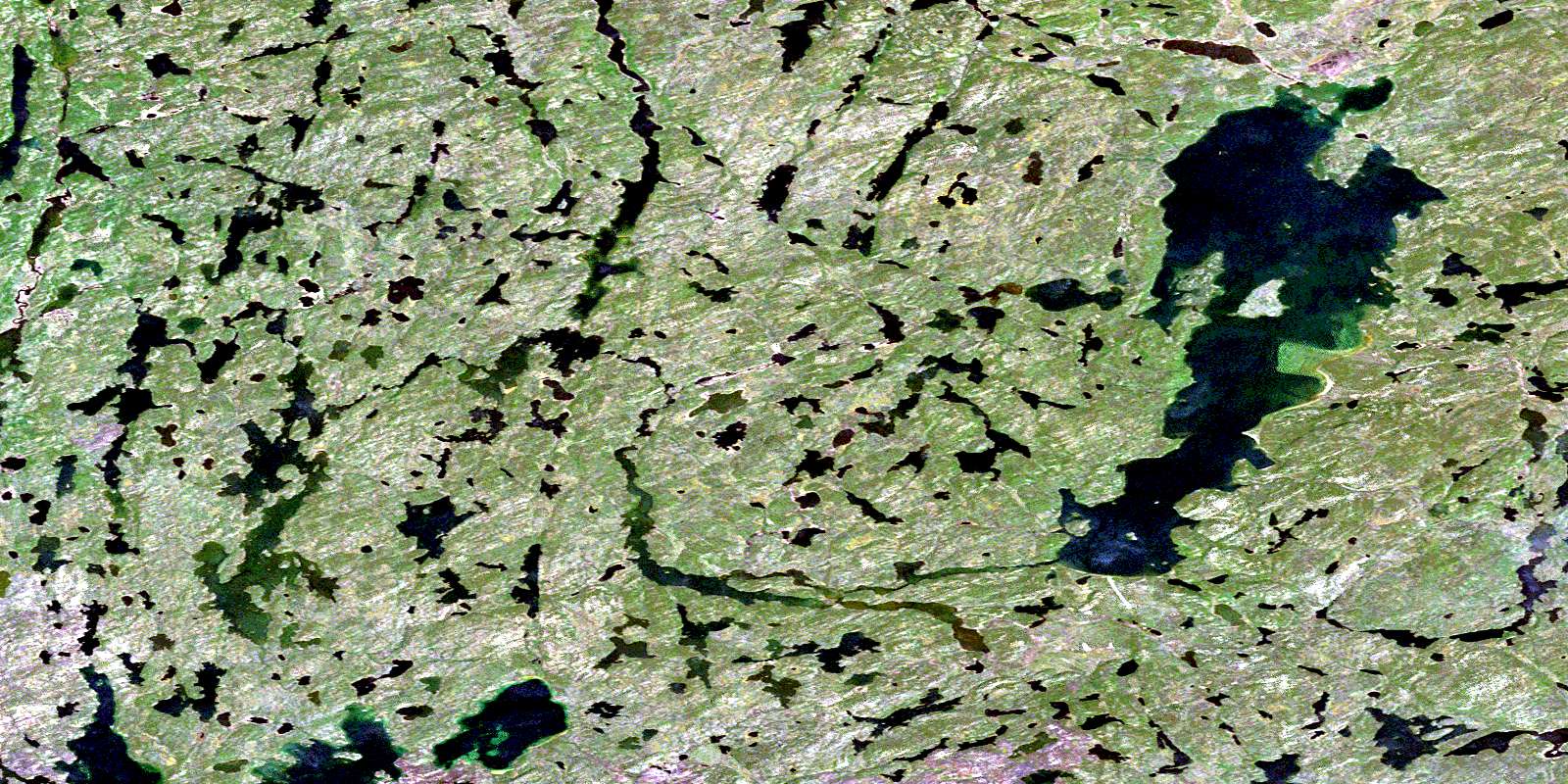
Andrew Lake Satellite Image Map
Download Free Aerial Photo 074M16 at 1:50,000 scale
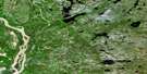
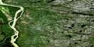
Andrew Lake Satellite Imagery
To view this satellite map, mouse over the air photo on the right.
You can also download this satellite image map for free:
074M16 Andrew Lake high-resolution satellite image map.
Maps for the Andrew Lake aerial map sheet 074M16 at 1:50,000 scale are also available in these versions:
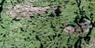
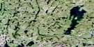
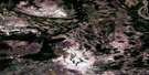
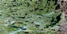
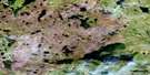
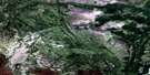
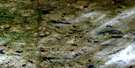
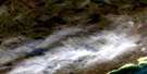
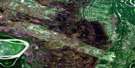
Andrew Lake Surrounding Area Aerial Photo Maps
 |
 |
 |
 |
 |
 |
 |
 |
 |
 |
 |
 |
 |
 |
 |
 |
© Department of Natural Resources Canada. All rights reserved.
Andrew Lake Gazetteer
The following places can be found on satellite image map 074M16 Andrew Lake:
Andrew Lake Satellite Image: Islands
Wallace IslandAndrew Lake Satellite Image: Lakes
Andrew LakeAshton Lake
Bailey Lake
Bayonet Lake
Brock Lake
Camsell Lake
Charles Lake
Cherry Lake
Cinderella Lake
Collins Lake
Dawson Lake
Doze Lake
Doze Lake
Dumbell Lake
Eagle Lake
Flagon Lake
Flagon Lake
Geikie Lake
Harker Lake
Harker Lake
Henson Lake
Holmes Lake
Horberg Lake
Hutton Lake
Inkster Lake
Inkster Lake
Johnson Lake
Lindgren Lake
Logan Lake
Martyn Lake
McCowan Lake
Miles Lake
Murchison Lake
Mylonite Lake
Ney Lake
Ney Lake
Niggli Lake
One Week Lake
Pans Lake
Potts Lake
Pythagoras Lake
Rutledge Lake
Sederholm Lake
Selwyn Lake
Spider Lake
Split Lakes
Spur Lake
Swinnerton Lake
Treasure Loch
Waugh Lake
Waugh Lake
Wells Lake
Wells Lake
William Smith Lake
© Department of Natural Resources Canada. All rights reserved.
074M Related Maps:
074M Fitzgerald074M01 Winnifred Lake
074M02 No Title
074M03 Ryan Lake
074M04 Peltier Creek
074M05 Darough Lake
074M06 Bocquene Lake
074M07 No Title
074M08 Wylie Lake
074M09 Colin Lake
074M10 Cornwall Lake
074M11 Hay Camp
074M12 Caribou Islands
074M13 Fitzgerald
074M14 Tulip Lake
074M15 Mercredi Lake
074M16 Andrew Lake
