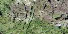
Delight Lake Satellite Image Map
Download Free Aerial Photo 075C09 at 1:50,000 scale
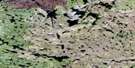
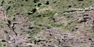
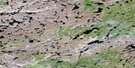
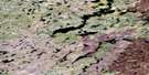
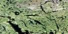
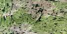
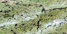
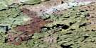
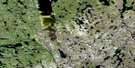
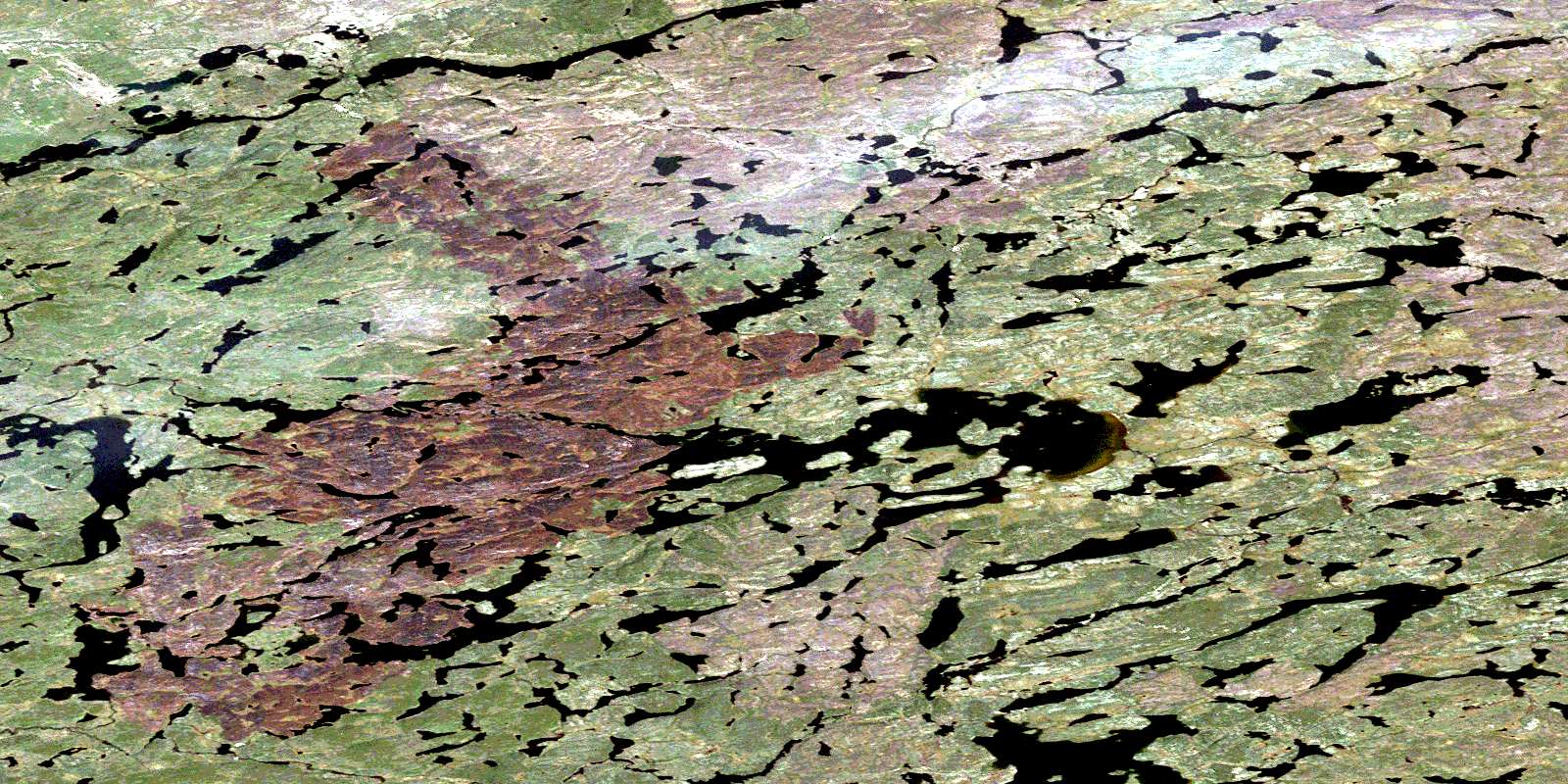
Delight Lake Satellite Imagery
To view this satellite map, mouse over the air photo on the right.
You can also download this satellite image map for free:
075C09 Delight Lake high-resolution satellite image map.
Maps for the Delight Lake aerial map sheet 075C09 at 1:50,000 scale are also available in these versions:
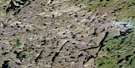
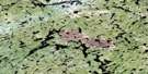
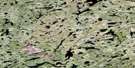
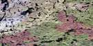
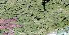
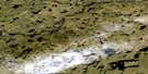
Delight Lake Surrounding Area Aerial Photo Maps
 |
 |
 |
 |
 |
 |
 |
 |
 |
 |
 |
 |
 |
 |
 |
 |
© Department of Natural Resources Canada. All rights reserved.
Delight Lake Gazetteer
The following places can be found on satellite image map 075C09 Delight Lake:
Delight Lake Satellite Image: Lakes
Delight LakeOswald Lake
Delight Lake Satellite Image: Rivers
Marten RiverThoa River
© Department of Natural Resources Canada. All rights reserved.
075C Related Maps:
075C Hill Island Lake075C01 Brazen Lake
075C02 Whirlwind Lake
075C03 Portman Lake
075C04 Tatse Lake
075C05 Shark Lake
075C06 Imogen Lake
075C07 Escort Lake
075C08 Rockpoint Lake
075C09 Delight Lake
075C10 Majeau Lake
075C11 Grampus Lake
075C12 No Title
075C13 Salmon Lake
075C14 Kidder Lake
075C15 Laing Lake
075C16 Alcantara Lake
