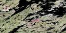
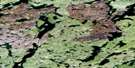
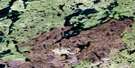
Louison Lake Satellite Image Map
Download Free Aerial Photo 075F11 at 1:50,000 scale
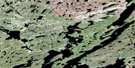
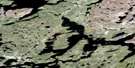
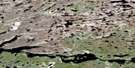
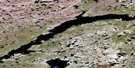
Louison Lake Satellite Imagery
To view this satellite map, mouse over the air photo on the right.
You can also download this satellite image map for free:
075F11 Louison Lake high-resolution satellite image map.
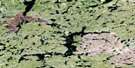
Maps for the Louison Lake aerial map sheet 075F11 at 1:50,000 scale are also available in these versions:
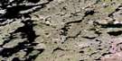
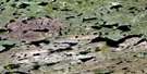
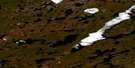
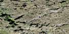
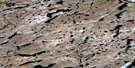
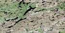
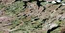
Louison Lake Surrounding Area Aerial Photo Maps
 |
 |
 |
 |
 |
 |
 |
 |
 |
 |
 |
 |
 |
 |
 |
 |
© Department of Natural Resources Canada. All rights reserved.
Louison Lake Gazetteer
The following places can be found on satellite image map 075F11 Louison Lake:
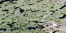
Louison Lake Satellite Image: Lakes
Hjalmar LakeLouison Lake
Nonacho Lake
Louison Lake Satellite Image: Rivers
Taltson River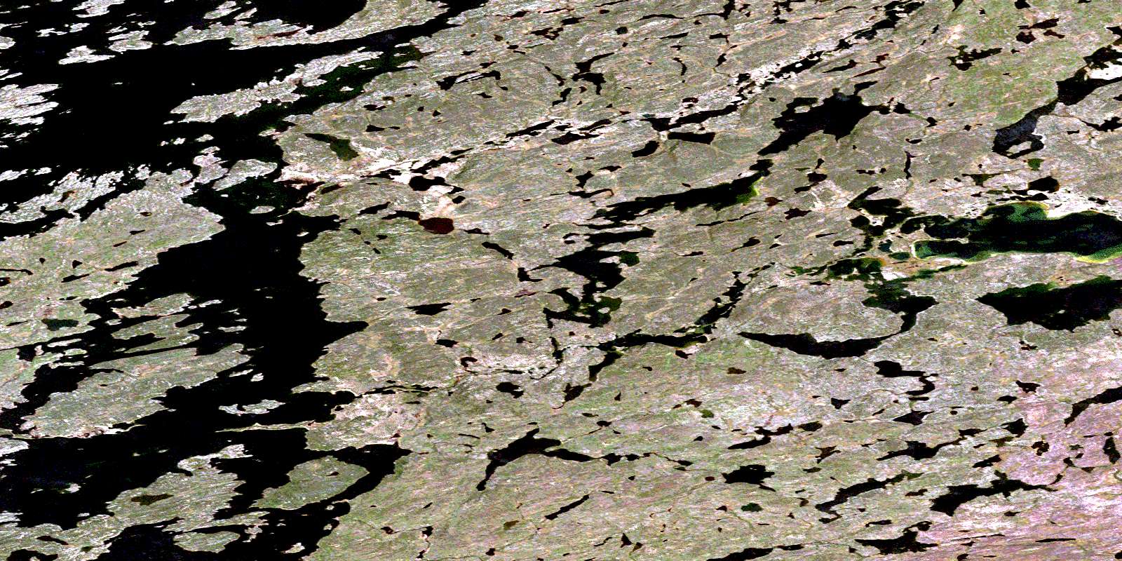
© Department of Natural Resources Canada. All rights reserved.
075F Related Maps:
075F Nonacho Lake075F01 No Title
075F02 Anderson Lake
075F03 Powder Lake
075F04 Sparks Lake
075F05 Salkeld Lake
075F06 Heron Lake
075F07 Halliday Lake
075F08 Boomer Lake
075F09 No Title
075F10 Tejean Lake
075F11 Louison Lake
075F12 Tronka Chua Lake
075F13 Walker Lake
075F14 Etthengunneh Island
075F15 Cobb Lake
075F16 Gray Lake
