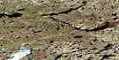
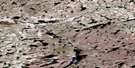
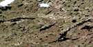
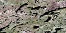
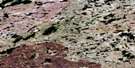
Lahaise Lake Satellite Image Map
Download Free Aerial Photo 075G16 at 1:50,000 scale
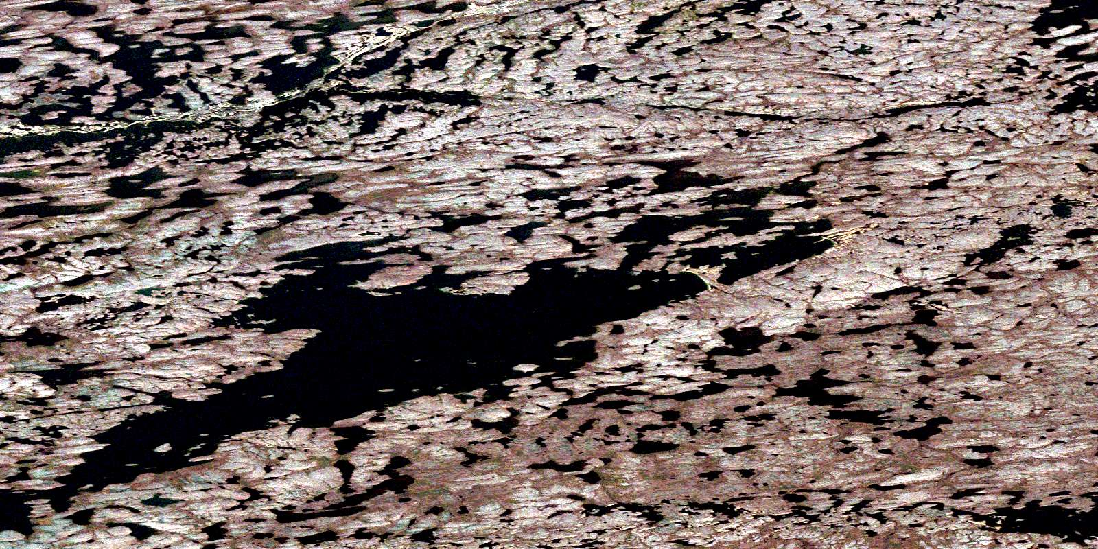
Lahaise Lake Satellite Imagery
To view this satellite map, mouse over the air photo on the right.
You can also download this satellite image map for free:
075G16 Lahaise Lake high-resolution satellite image map.
Maps for the Lahaise Lake aerial map sheet 075G16 at 1:50,000 scale are also available in these versions:
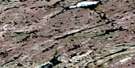
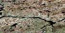
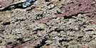
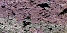
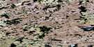
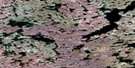
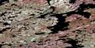
Lahaise Lake Surrounding Area Aerial Photo Maps
 |
 |
 |
 |
 |
 |
 |
 |
 |
 |
 |
 |
 |
 |
 |
 |
© Department of Natural Resources Canada. All rights reserved.
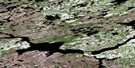
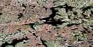
Lahaise Lake Gazetteer
The following places can be found on satellite image map 075G16 Lahaise Lake:
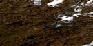
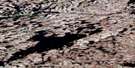
Lahaise Lake Satellite Image: Lakes
Gardenia LakeLaHaise Lake
Penylan Lake
© Department of Natural Resources Canada. All rights reserved.
075G Related Maps:
075G Mccann Lake075G01 Coventry Lake
075G02 Knobovitch Lake
075G03 Mansfield Lake
075G04 No Title
075G05 Garceau Lake
075G06 Cronyn Lake
075G07 Burpee Lake
075G08 Dymond Lake
075G09 Donnelly Lake
075G10 Mcarthur Lake
075G11 Miller Lake
075G12 Mcrae Lake
075G13 No Title
075G14 Lamarre Lake
075G15 Brooks Lake
075G16 Lahaise Lake
