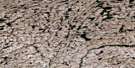
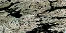
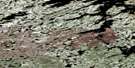
Triangular Lake Satellite Image Map
Download Free Aerial Photo 075J12 at 1:50,000 scale
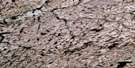
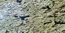
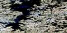
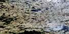
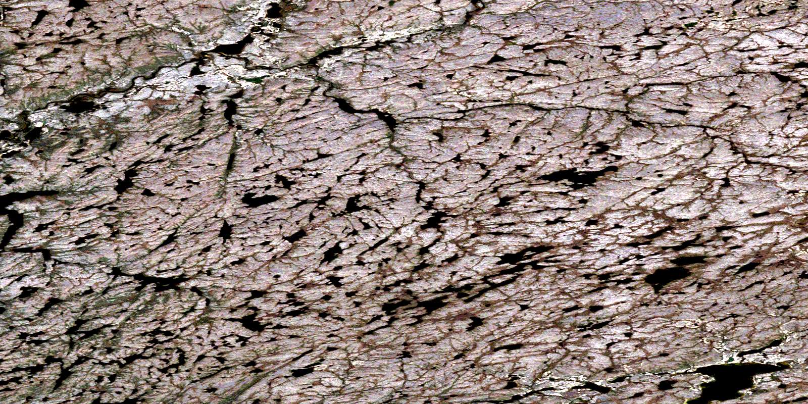
Triangular Lake Satellite Imagery
To view this satellite map, mouse over the air photo on the right.
You can also download this satellite image map for free:
075J12 Triangular Lake high-resolution satellite image map.
Maps for the Triangular Lake aerial map sheet 075J12 at 1:50,000 scale are also available in these versions:
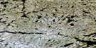
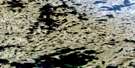
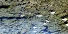
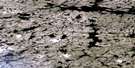
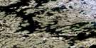
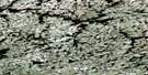
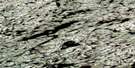
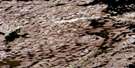
Triangular Lake Surrounding Area Aerial Photo Maps
 |
 |
 |
 |
 |
 |
 |
 |
 |
 |
 |
 |
 |
 |
 |
 |
© Department of Natural Resources Canada. All rights reserved.
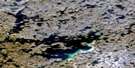
Triangular Lake Gazetteer
The following places can be found on satellite image map 075J12 Triangular Lake:
Triangular Lake Satellite Image: Lakes
Triangular LakeTriangular Lake Satellite Image: Rivers
Ingstad CreekSnowdrift River
© Department of Natural Resources Canada. All rights reserved.
075J Related Maps:
075J Lynx Lake075J01 Blake Lake
075J02 No Title
075J03 Sled Creek
075J04 Mountain Bay
075J05 Tent Lake
075J06 Huff Lake
075J07 Timberhill Lake
075J08 Lynx Lake
075J09 Mcfarlane Lake
075J10 Laroque Bay
075J11 Catholic Lake
075J12 Triangular Lake
075J13 Fabien Lake
075J14 Lake Of Woe
075J15 Zucker Lake
075J16 Garde Lake
