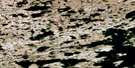
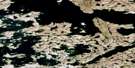
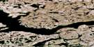
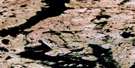
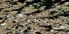
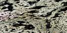
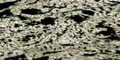
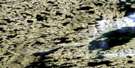
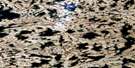
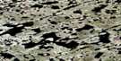
Fat Lake Satellite Image Map
Download Free Aerial Photo 075M05 at 1:50,000 scale
Fat Lake Satellite Imagery
To view this satellite map, mouse over the air photo on the right.
You can also download this satellite image map for free:
075M05 Fat Lake high-resolution satellite image map.
Maps for the Fat Lake aerial map sheet 075M05 at 1:50,000 scale are also available in these versions:
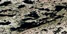
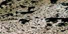
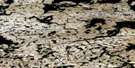
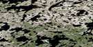
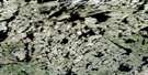
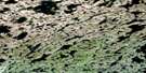
Fat Lake Surrounding Area Aerial Photo Maps
 |
 |
 |
 |
 |
 |
 |
 |
 |
 |
 |
 |
 |
 |
 |
 |
© Department of Natural Resources Canada. All rights reserved.
Fat Lake Gazetteer
The following places can be found on satellite image map 075M05 Fat Lake:
Fat Lake Satellite Image: Lakes
Angus LakeFat Lake
Lac du Rocher
Lac Nez Croche
Lac Sans-disant
Old Canoe Lake
Rivett Lake
Sosan Lake
Fat Lake Satellite Image: Rivers
Beaulieu River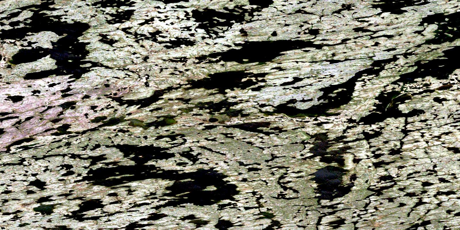
© Department of Natural Resources Canada. All rights reserved.
075M Related Maps:
075M Mackay Lake075M01 Barnston Lake
075M02 Benjamin Lake
075M03 Lac Du Mort
075M04 Rolfe Lake
075M05 Fat Lake
075M06 Hilltop Lake
075M07 Lac Tete D'Ours
075M08 Beirnes Lake
075M09 No Title
075M10 Lac Capot Blanc
075M11 Camsell Lake
075M12 Athenia Lake
075M13 Warburton Bay
075M14 Nodinka Narrows
075M15 No Title
075M16 Lake Of The Enemy
