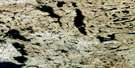
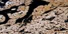
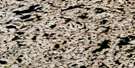
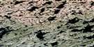
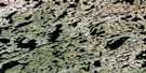
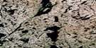
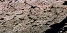
No Title Satellite Image Map
Download Free Aerial Photo 075N02 at 1:50,000 scale
No Title Satellite Imagery
To view this satellite map, mouse over the air photo on the right.
You can also download this satellite image map for free:
075N02 No Title high-resolution satellite image map.
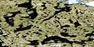
Maps for the No Title aerial map sheet 075N02 at 1:50,000 scale are also available in these versions:
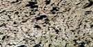
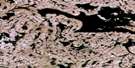
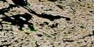
No Title Surrounding Area Aerial Photo Maps
 |
 |
 |
 |
 |
 |
 |
 |
 |
 |
 |
 |
 |
 |
 |
 |
© Department of Natural Resources Canada. All rights reserved.
No Title Gazetteer
The following places can be found on satellite image map 075N02 No Title:
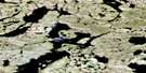
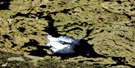
No Title Satellite Image: Lakes
Cook LakeLac la Prise
No Title Satellite Image: Rivers
Hoarfrost River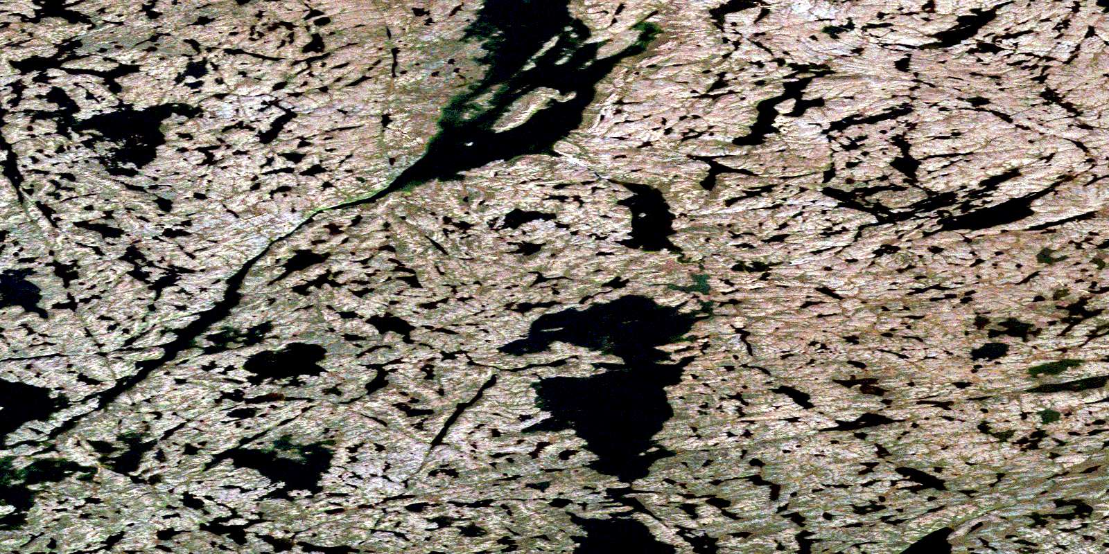
© Department of Natural Resources Canada. All rights reserved.
075N Related Maps:
075N Walmsley Lake075N01 No Title
075N02 No Title
075N03 Doyle Lake
075N04 Goodspeed Lake
075N05 Anarin Lake
075N06 No Title
075N07 No Title
075N08 Maufelly Bay
075N09 Malley Lake
075N10 No Title
075N11 No Title
075N12 No Title
075N13 Zyena Lake
075N14 Box Lake
075N15 Taylor Lake
075N16 No Title
