Daring Lake Satellite Image Map
Download Free Aerial Photo 076D13 at 1:50,000 scale
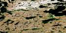
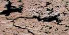
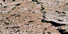
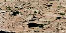
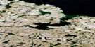
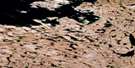
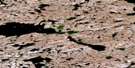
Daring Lake Satellite Imagery
To view this satellite map, mouse over the air photo on the right.
You can also download this satellite image map for free:
076D13 Daring Lake high-resolution satellite image map.
Maps for the Daring Lake aerial map sheet 076D13 at 1:50,000 scale are also available in these versions:
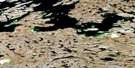
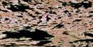
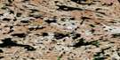
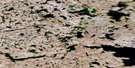
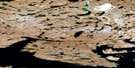
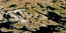
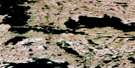
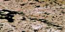
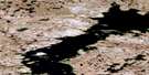
Daring Lake Surrounding Area Aerial Photo Maps
 |
 |
 |
 |
 |
 |
 |
 |
 |
 |
 |
 |
 |
 |
 |
 |
© Department of Natural Resources Canada. All rights reserved.
Daring Lake Gazetteer
The following places can be found on satellite image map 076D13 Daring Lake:
Daring Lake Satellite Image: Lakes
Daring LakeEda Lake
Lake Providence
Yamba Lake
Daring Lake Satellite Image: Rivers
Coppermine River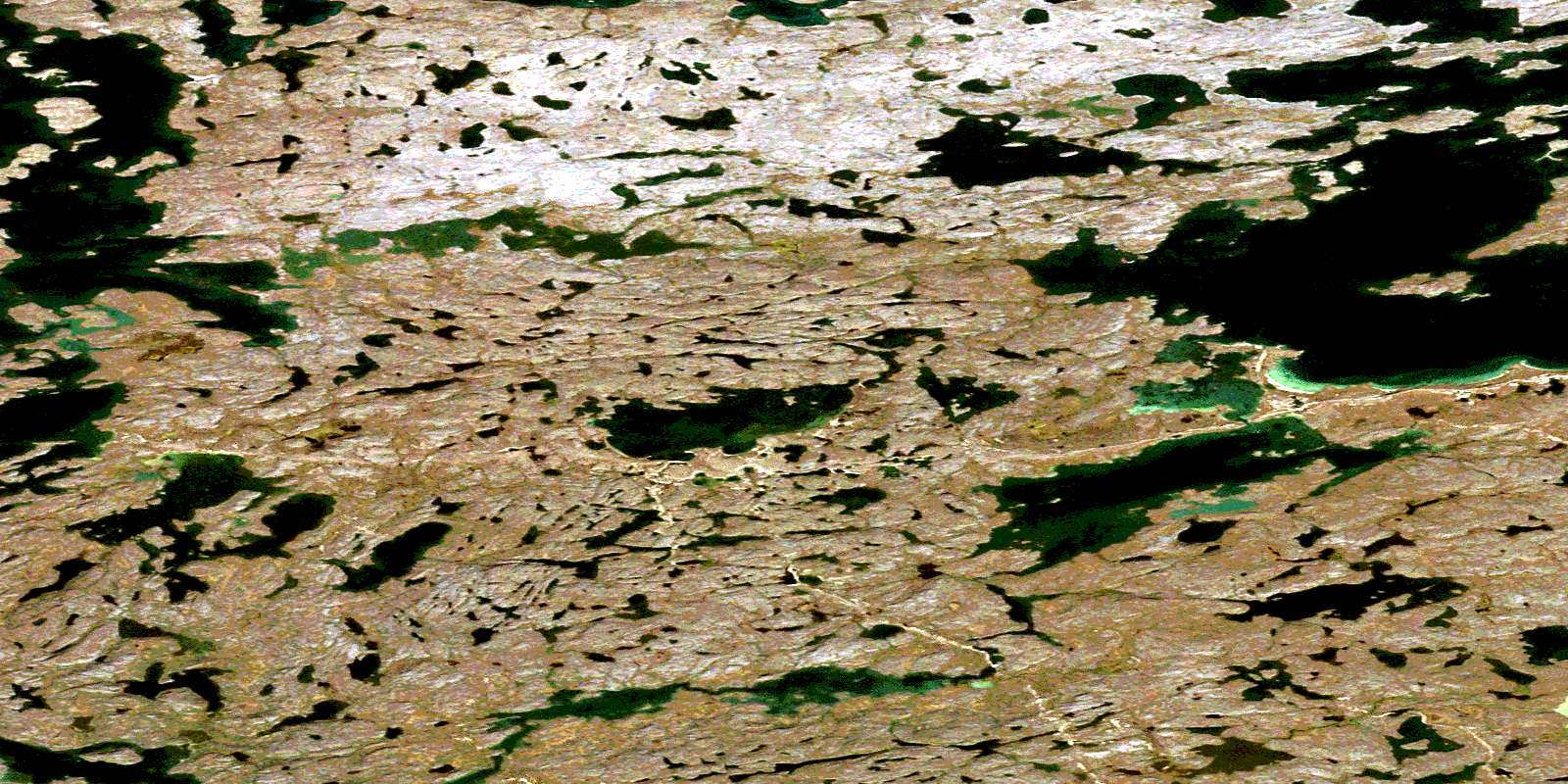
© Department of Natural Resources Canada. All rights reserved.
076D Related Maps:
076D Lac De Gras076D01 No Title
076D02 Snake Lake
076D03 Courageous Lake
076D04 Undine Lake
076D05 Starfish Lake
076D06 Seahorse Lake
076D07 No Title
076D08 No Title
076D09 Paul Lake
076D10 No Title
076D11 No Title
076D12 Desteffany Lake
076D13 Daring Lake
076D14 Yamba Lake
076D15 Exeter Lake
076D16 Ursula Lake
