Bate Islands Satellite Image Map
Download Free Aerial Photo 077B05 at 1:50,000 scale
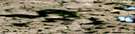
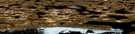
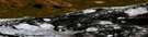
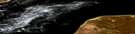
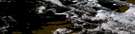
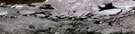
Bate Islands Satellite Imagery
To view this satellite map, mouse over the air photo on the right.
You can also download this satellite image map for free:
077B05 Bate Islands high-resolution satellite image map.
Maps for the Bate Islands aerial map sheet 077B05 at 1:50,000 scale are also available in these versions:
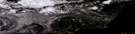
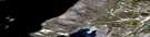
Bate Islands Surrounding Area Aerial Photo Maps
 |
 |
 |
 |
 |
 |
 |
 |
 |
 |
 |
 |
 |
 |
 |
 |
© Department of Natural Resources Canada. All rights reserved.
Bate Islands Gazetteer
The following places can be found on satellite image map 077B05 Bate Islands:
Bate Islands Satellite Image: Bays
Coronation GulfBate Islands Satellite Image: Capes
Foellmer PointBate Islands Satellite Image: Channels
Edinburgh ChannelBate Islands Satellite Image: Islands
Bate IslandBate Islands
Doak Island
Duke of York Archipelago
Edinburgh Island
Marker Islets
Murray Island
Richardson Islands
Sisters Islands
Bate Islands Satellite Image: Mountains
Brabant Bluffs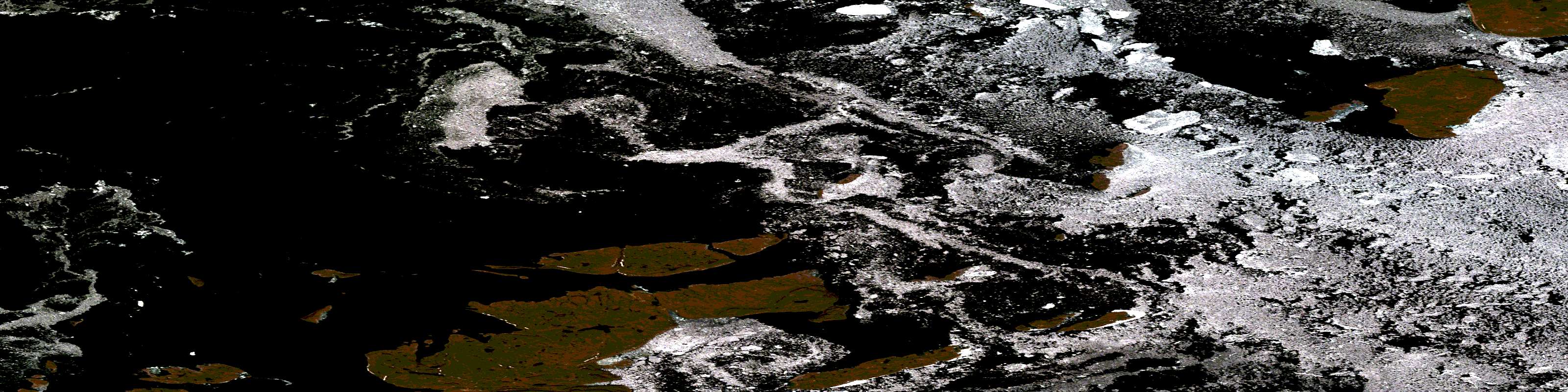
© Department of Natural Resources Canada. All rights reserved.
077B Related Maps:
077B Richardson Islands077B01 Porden Islands
077B02E Wilmot Islands
077B02W Wilmot Islands
077B03E Cape Barrow
077B03W Cape Barrow
077B04W No Title
077B05E Bate Islands
077B05W Bate Islands
077B06W No Title
077B07E No Title
077B08 Cape Flinders
077B09 Cape Franklin
077B10 No Title
077B11 Wilbank Bay
077B12 Johansen Bay
077B13 No Title
077B14 No Title
077B15 No Title
077B16 No Title
