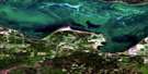
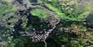
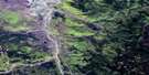
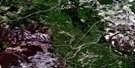
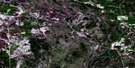
Salt Creek Satellite Image Map
Download Free Aerial Photo 083O12 at 1:50,000 scale
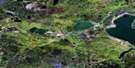
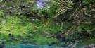
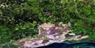
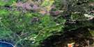
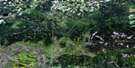
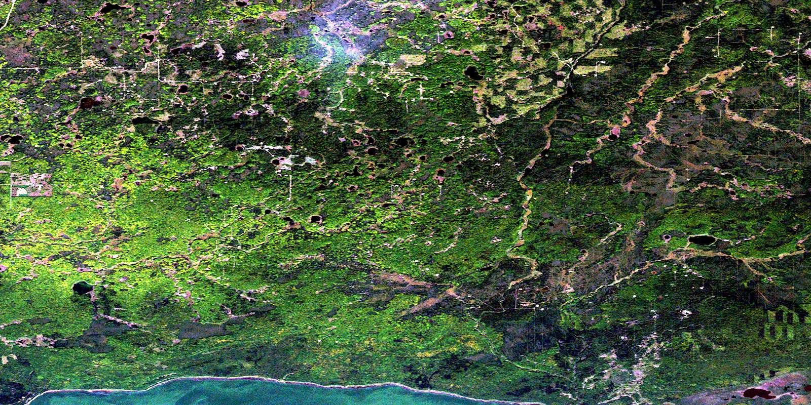
Salt Creek Satellite Imagery
To view this satellite map, mouse over the air photo on the right.
You can also download this satellite image map for free:
083O12 Salt Creek high-resolution satellite image map.
Maps for the Salt Creek aerial map sheet 083O12 at 1:50,000 scale are also available in these versions:
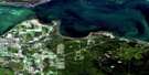
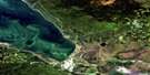
Salt Creek Surrounding Area Aerial Photo Maps
 |
 |
 |
 |
 |
 |
 |
 |
 |
 |
 |
 |
 |
 |
 |
 |
© Department of Natural Resources Canada. All rights reserved.
Salt Creek Gazetteer
The following places can be found on satellite image map 083O12 Salt Creek:
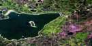
Salt Creek Satellite Image: Capes
Cut BankSalt Creek Satellite Image: Lakes
Lesser Slave LakeMilne Lake
Muir Lake
Salt Creek Satellite Image: Major municipal/district area - major agglomerations
Municipal District of Big Lakes No. 125Salt Creek Satellite Image: Conservation areas
Hilliard's Bay Provincial ParkSalt Creek Satellite Image: Rivers
Salt CreekShaw Creek
Salt Creek Satellite Image: Unincorporated areas
Gift Lake Metis SettlementUtikuma Lake Metis Colony No. 3
Utikuma Lake Metis Settlement
© Department of Natural Resources Canada. All rights reserved.
083O Related Maps:
083O Lesser Slave Lake083O01 Smith
083O02 Florida Lake
083O03 Adams Creek
083O04 House Mountain
083O05 Driftpile
083O06 Kinuso
083O07 Slave Lake
083O08 Driftwood River
083O09 No Title
083O10 Marten Lakes
083O11 Narrows Creek
083O12 Salt Creek
083O13 Atikameg
083O14 Utikuma Lake
083O15 Brintnell Lake
083O16 Mistehae Lake
