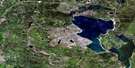
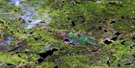
Peerless Lake Satellite Image Map
Download Free Aerial Photo 084B10 at 1:50,000 scale
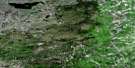
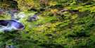
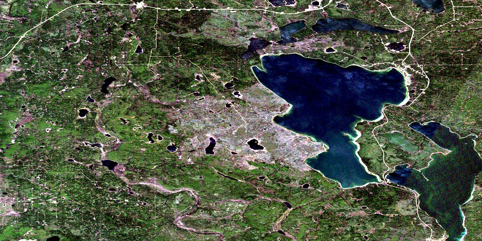
Peerless Lake Satellite Imagery
To view this satellite map, mouse over the air photo on the right.
You can also download this satellite image map for free:
084B10 Peerless Lake high-resolution satellite image map.
Maps for the Peerless Lake aerial map sheet 084B10 at 1:50,000 scale are also available in these versions:
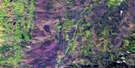
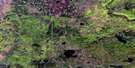
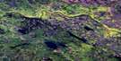
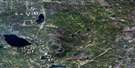
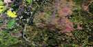
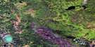
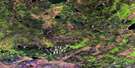
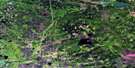
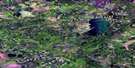
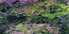
Peerless Lake Surrounding Area Aerial Photo Maps
 |
 |
 |
 |
 |
 |
 |
 |
 |
 |
 |
 |
 |
 |
 |
 |
© Department of Natural Resources Canada. All rights reserved.
Peerless Lake Gazetteer
The following places can be found on satellite image map 084B10 Peerless Lake:
Peerless Lake Satellite Image: Lakes
Equisetum LakeGoodfish Lake
Graham Lake
Long Lake
Peerless Lake
Round Lake
Peerless Lake Satellite Image: Major municipal/district area - major agglomerations
Municipal District of East Peace No. 131Municipal District of Opportunity No. 17
Northern Sunrise County
Peerless Lake Satellite Image: Rivers
Redearth CreekShoal River
Peerless Lake Satellite Image: Unincorporated areas
Peerless LakeTrout Lake
© Department of Natural Resources Canada. All rights reserved.
084B Related Maps:
084B Peerless Lake084B01 Godin Lake
084B02 Muskwa Lake
084B03 Cranberry Lake
084B04 Mink River
084B05 Lubicon Lake
084B06 No Title
084B07 Bat Lake
084B08 Hospital Creek
084B09 Quitting Lake
084B10 Peerless Lake
084B11 Red Earth Creek
084B12 No Title
084B13 Sawn Lake
084B14 No Title
084B15 Kidney Lake
084B16 Goosegrass Lake
