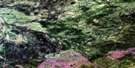
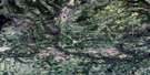
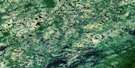
Foulwater Creek Satellite Image Map
Download Free Aerial Photo 084E13 at 1:50,000 scale
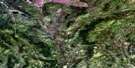
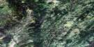
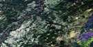
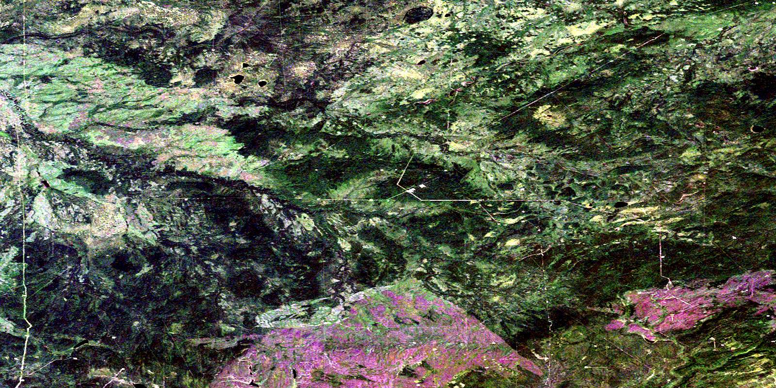
Foulwater Creek Satellite Imagery
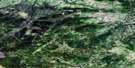
To view this satellite map, mouse over the air photo on the right.
You can also download this satellite image map for free:
084E13 Foulwater Creek high-resolution satellite image map.
Maps for the Foulwater Creek aerial map sheet 084E13 at 1:50,000 scale are also available in these versions:
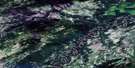
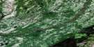
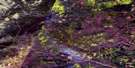
Foulwater Creek Surrounding Area Aerial Photo Maps
 |
 |
 |
 |
 |
 |
 |
 |
 |
 |
 |
 |
 |
 |
 |
 |
© Department of Natural Resources Canada. All rights reserved.
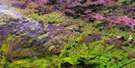
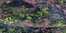
Foulwater Creek Gazetteer
The following places can be found on satellite image map 084E13 Foulwater Creek:
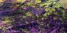
Foulwater Creek Satellite Image: Major municipal/district area - major agglomerations
Municipal District of Northern Lights No. 22Foulwater Creek Satellite Image: Rivers
Fontas RiverFontas River
Foulwater Creek
Foulwater Creek
Levellers Creek
Levellers Creek
Tanghe Creek
© Department of Natural Resources Canada. All rights reserved.
084E Related Maps:
084E Chinchaga River084E01 Lovet Creek
084E02 Alleman Creek
084E03 Halverson Ridge
084E04 Mearon Creek
084E05 Tanghe Creek
084E06 Osland Lakes
084E07 Sloat Creek
084E08 Botha River
084E09 Dryden Creek
084E10 Vader Creek
084E11 Werniuk Creek
084E12 Sock Lake
084E13 Foulwater Creek
084E14 Thordarson Creek
084E15 Waniandy Creek
084E16 Haro River
