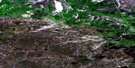
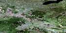
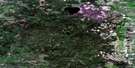
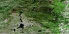
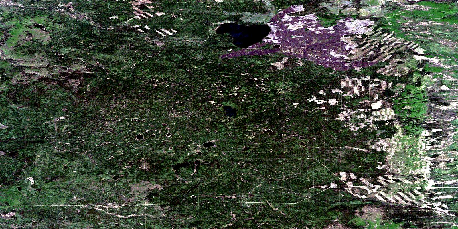
Rossbear Lake Satellite Image Map
Download Free Aerial Photo 084G05 at 1:50,000 scale
Rossbear Lake Satellite Imagery
To view this satellite map, mouse over the air photo on the right.
You can also download this satellite image map for free:
084G05 Rossbear Lake high-resolution satellite image map.
Maps for the Rossbear Lake aerial map sheet 084G05 at 1:50,000 scale are also available in these versions:
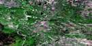
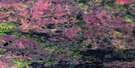
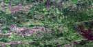
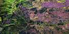
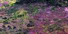
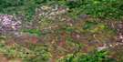
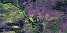
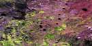
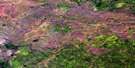
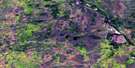
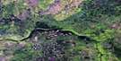
Rossbear Lake Surrounding Area Aerial Photo Maps
 |
 |
 |
 |
 |
 |
 |
 |
 |
 |
 |
 |
 |
 |
 |
 |
© Department of Natural Resources Canada. All rights reserved.
Rossbear Lake Gazetteer
The following places can be found on satellite image map 084G05 Rossbear Lake:
Rossbear Lake Satellite Image: Lakes
Rossbear LakeTalbot Lake
Rossbear Lake Satellite Image: Mountains
Buffalo Head HillsRossbear Lake Satellite Image: Major municipal/district area - major agglomerations
Municipal District of East Peace No. 131Municipal District of Mackenzie No. 23
Northern Sunrise County
Specialized Municipality of Mackenzie No. 23
Rossbear Lake Satellite Image: Rivers
Buffalo RiverRossbear Creek
© Department of Natural Resources Canada. All rights reserved.
