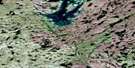
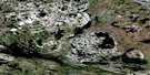
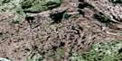
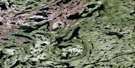
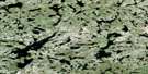
Zenith Island Satellite Image Map
Download Free Aerial Photo 085I14 at 1:50,000 scale
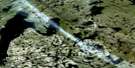
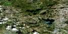
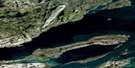
Zenith Island Satellite Imagery
To view this satellite map, mouse over the air photo on the right.
You can also download this satellite image map for free:
085I14 Zenith Island high-resolution satellite image map.
Maps for the Zenith Island aerial map sheet 085I14 at 1:50,000 scale are also available in these versions:
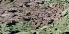
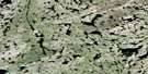
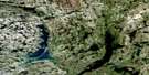
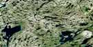
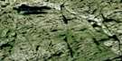
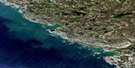
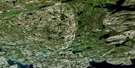
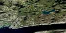
Zenith Island Surrounding Area Aerial Photo Maps
 |
 |
 |
 |
 |
 |
 |
 |
 |
 |
 |
 |
 |
 |
 |
 |
© Department of Natural Resources Canada. All rights reserved.
Zenith Island Gazetteer
The following places can be found on satellite image map 085I14 Zenith Island:
Zenith Island Satellite Image: Bays
Knight BayWest Bay
Zenith Island Satellite Image: Islands
Zenith IslandZenith Island Satellite Image: Lakes
Allan LakeDome Lake
Gordon Lake
Hank Lake
Hilrod Lake
Lee Lake
Mitchell Lake
Paterson Lake
Peaceful Lake
Redout Lake
Sproule Lake
Upper Ross Lake
Waite Lake
Webb Lake
Zenith Island Satellite Image: Rivers
Cameron RiverZenith Island Satellite Image: Unincorporated areas
Camlaren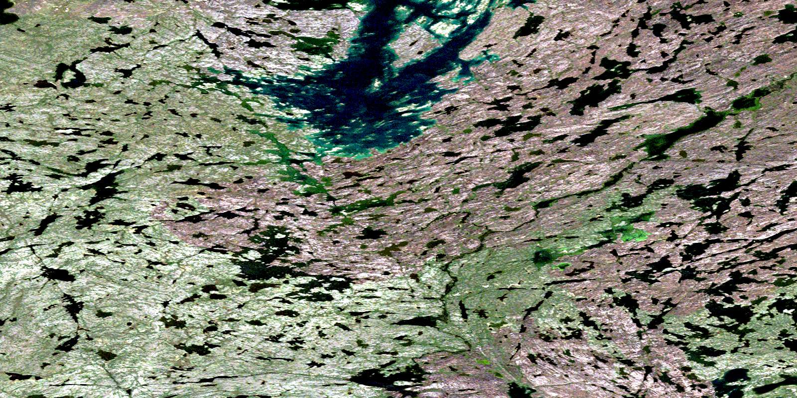
© Department of Natural Resources Canada. All rights reserved.
085I Related Maps:
085I Hearne Lake085I01 Blanchet Island
085I02 Blachford Lake
085I03 Pauline Lake
085I04 Matonabbee Point
085I05 Jennejohn Lake
085I06 Hearne Lake
085I07 Buckham Lake
085I08 Doubling Lake
085I09 Desperation Lake
085I10 Tumpline Lake
085I11 Ross Lake
085I12 Prelude Lake
085I13 Duncan Lake
085I14 Zenith Island
085I15 Morose Lake
085I16 Sunset Lake
