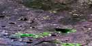
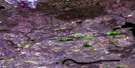
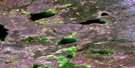
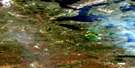
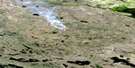
Agira Lake Satellite Image Map
Download Free Aerial Photo 086D11 at 1:50,000 scale
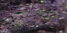
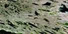
Agira Lake Satellite Imagery
To view this satellite map, mouse over the air photo on the right.
You can also download this satellite image map for free:
086D11 Agira Lake high-resolution satellite image map.
Maps for the Agira Lake aerial map sheet 086D11 at 1:50,000 scale are also available in these versions:
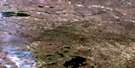
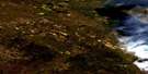
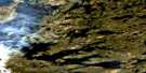
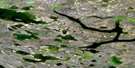
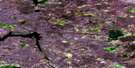
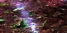
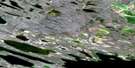
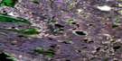
Agira Lake Surrounding Area Aerial Photo Maps
 |
 |
 |
 |
 |
 |
 |
 |
 |
 |
 |
 |
 |
 |
 |
 |
© Department of Natural Resources Canada. All rights reserved.
Agira Lake Gazetteer
The following places can be found on satellite image map 086D11 Agira Lake:
Agira Lake Satellite Image: Lakes
Agira LakeOrtona Lake
Agira Lake Satellite Image: Rivers
Rivière Grandin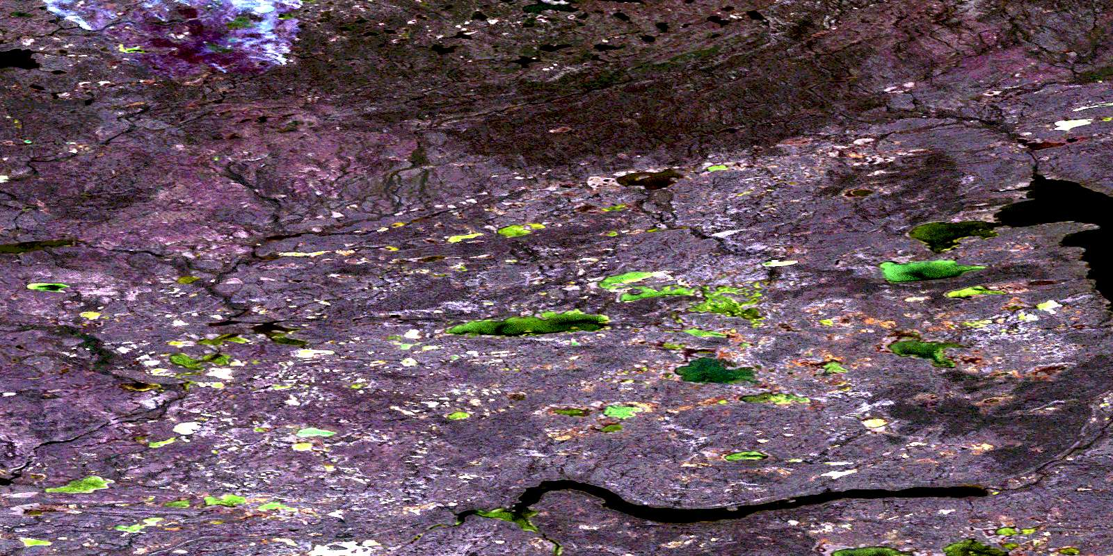
© Department of Natural Resources Canada. All rights reserved.
086D Related Maps:
086D Riviere Grandin086D01 No Title
086D02 No Title
086D03 Cassino Lake
086D04 Messina Lake
086D05 No Title
086D06 Etna Lake
086D07 No Title
086D08 Rome Lake
086D09 Beaverlodge Lake
086D10 Dennison Lake
086D11 Agira Lake
086D12 Leonforte Lake
086D13 No Title
086D14 Ortona Lake
086D15 No Title
086D16 Stairs Bay
