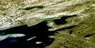
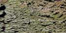
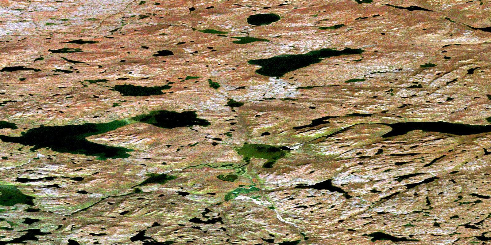
Mclaren Lake Satellite Image Map
Download Free Aerial Photo 086K10 at 1:50,000 scale
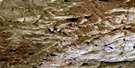
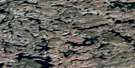
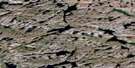
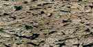
Mclaren Lake Satellite Imagery
To view this satellite map, mouse over the air photo on the right.
You can also download this satellite image map for free:
086K10 Mclaren Lake high-resolution satellite image map.
Maps for the Mclaren Lake aerial map sheet 086K10 at 1:50,000 scale are also available in these versions:
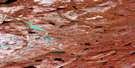
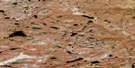
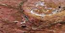
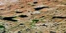
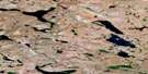
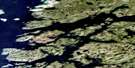
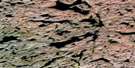
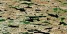
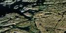
Mclaren Lake Surrounding Area Aerial Photo Maps
 |
 |
 |
 |
 |
 |
 |
 |
 |
 |
 |
 |
 |
 |
 |
 |
© Department of Natural Resources Canada. All rights reserved.
Mclaren Lake Gazetteer
The following places can be found on satellite image map 086K10 Mclaren Lake:
Mclaren Lake Satellite Image: Lakes
Jaciar LakeJunius Lake
Kamut Lake
McLaren Lake
Spence Lake
Mclaren Lake Satellite Image: Rivers
Harrison RiverSloan River
© Department of Natural Resources Canada. All rights reserved.
086K Related Maps:
086K Sloan River086K01 No Title
086K02 Copp Lake
086K03 No Title
086K04 Vance Peninsula
086K05 Macalpine Channel
086K06 Storm Lake
086K07 Augustus Lake
086K08 Adam Lake
086K09 Kamut Lake
086K10 Mclaren Lake
086K11 Harrison River
086K12 Bunn Creek
086K13 No Title
086K14 No Title
086K15 No Title
086K16 Qingaluk Lake
