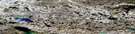
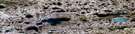
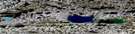
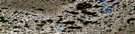
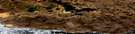
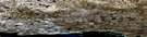
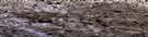
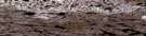
Knut Lang Island Satellite Image Map
Download Free Aerial Photo 087D02 at 1:50,000 scale
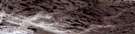
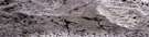
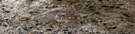
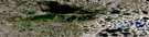
Knut Lang Island Satellite Imagery
To view this satellite map, mouse over the air photo on the right.
You can also download this satellite image map for free:
087D02 Knut Lang Island high-resolution satellite image map.
Maps for the Knut Lang Island aerial map sheet 087D02 at 1:50,000 scale are also available in these versions:
Knut Lang Island Surrounding Area Aerial Photo Maps
 |
 |
 |
 |
 |
 |
 |
 |
 |
 |
 |
 |
 |
 |
© Department of Natural Resources Canada. All rights reserved.
Knut Lang Island Gazetteer
The following places can be found on satellite image map 087D02 Knut Lang Island:
Knut Lang Island Satellite Image: Bays
Clouston BayForsyth Bay
Simpson Bay
Knut Lang Island Satellite Image: Capes
Fossil PointKunivvik Point
Nuvuk Point
Rymer Point
Wollaston Peninsula
Knut Lang Island Satellite Image: Islands
Igloolik IslandJames Island
Knut Lang Island
Qikertajuak Island
Read Island
Victoria Island
Knut Lang Island Satellite Image: Lakes
Niqitorvik LakeKnut Lang Island Satellite Image: Rivers
Tassijuak RiverKnut Lang Island Satellite Image: Unincorporated areas
Read Island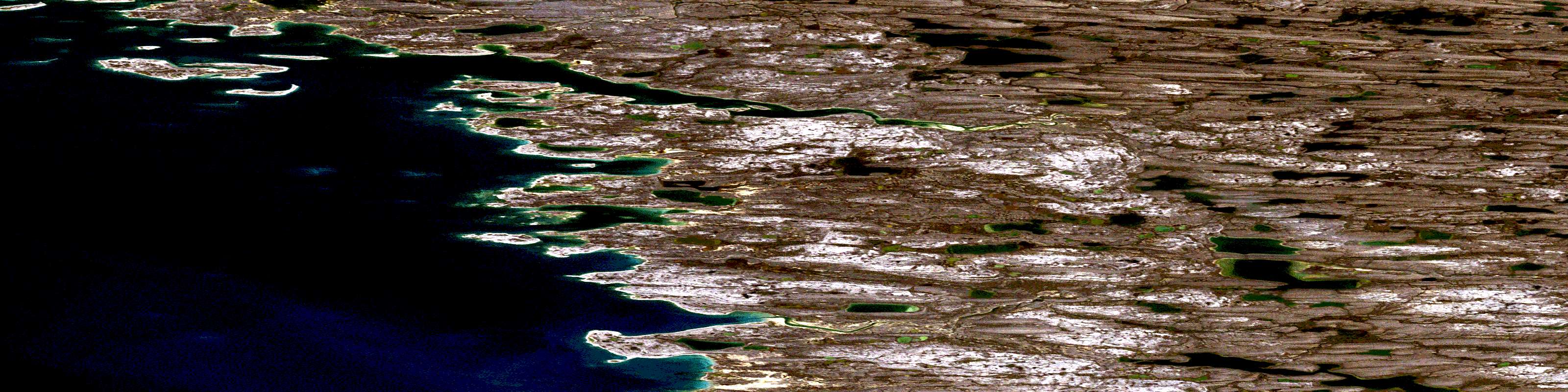
© Department of Natural Resources Canada. All rights reserved.
