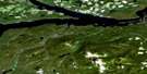
Cheslatta Lake Satellite Image Map
Download Free Aerial Photo 093F11 at 1:50,000 scale
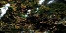
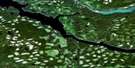
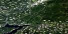
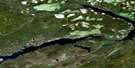
Cheslatta Lake Satellite Imagery
To view this satellite map, mouse over the air photo on the right.
You can also download this satellite image map for free:
093F11 Cheslatta Lake high-resolution satellite image map.
Maps for the Cheslatta Lake aerial map sheet 093F11 at 1:50,000 scale are also available in these versions:
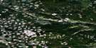
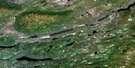
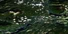
Cheslatta Lake Surrounding Area Aerial Photo Maps
 |
 |
 |
 |
 |
 |
 |
 |
 |
 |
 |
 |
 |
 |
 |
 |
© Department of Natural Resources Canada. All rights reserved.
Cheslatta Lake Gazetteer
The following places can be found on satellite image map 093F11 Cheslatta Lake:
Cheslatta Lake Satellite Image: Indian Reserves
Alexis Thomas Indian Reserve 1AHoly Cross Lake Indian Reserve 3
Murray Lake Indian Reserve 4
Réserve indienne Alexis Thomas 1A
Réserve indienne Holy Cross Lake 3
Réserve indienne Murray Lake 4
Cheslatta Lake Satellite Image: Lakes
Bird LakeChaoborus Lake
Cheslatta Lake
Cicuta Lake
Davidson Lake
Emmett Lake
Holy Cross Lake
Hoult Lake
Intata Lake
Knewstubb Lake
Lucas Lake
Mackenzie Lake
Murray Lake
Natalkuz Lake
Nechako Reservoir
Smith Lake
Cheslatta Lake Satellite Image: Mountains
Deerhorn HillSaunders Hill
Table Hill
The Devils Thumb
Cheslatta Lake Satellite Image: Major municipal/district area - major agglomerations
Regional District of Bulkley-NechakoCheslatta Lake Satellite Image: Plains
Interior PlateauNechako Plateau
Cheslatta Lake Satellite Image: Rivers
Bird CreekCheslatta River
Knapp Creek
Lucas Creek
Ootsa River
Targe Creek
Cheslatta Lake Satellite Image: River features
Intata Reach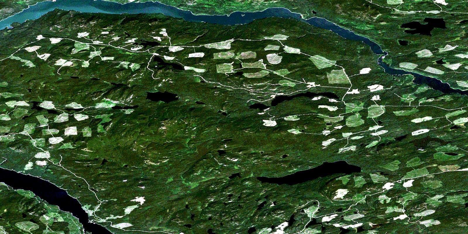
© Department of Natural Resources Canada. All rights reserved.
093F Related Maps:
093F Nechako River093F01 Suscha Creek
093F02 Tsacha Lake
093F03 Fawnie Creek
093F04 Qualcho Lake
093F05 Tetachuck Lake
093F06 Natalkuz Lake
093F07 Chedakuz Creek
093F08 Euchiniko River
093F09 Tatuk Lake
093F10 Big Bend Creek
093F11 Cheslatta Lake
093F12 Marilla
093F13 Takysie Lake
093F14 Knapp Lake
093F15 Hallett Lake
093F16 Nulki Lake
