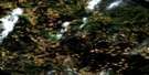
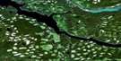
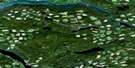
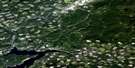
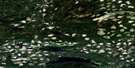
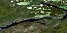
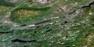
Takysie Lake Satellite Image Map
Download Free Aerial Photo 093F13 at 1:50,000 scale
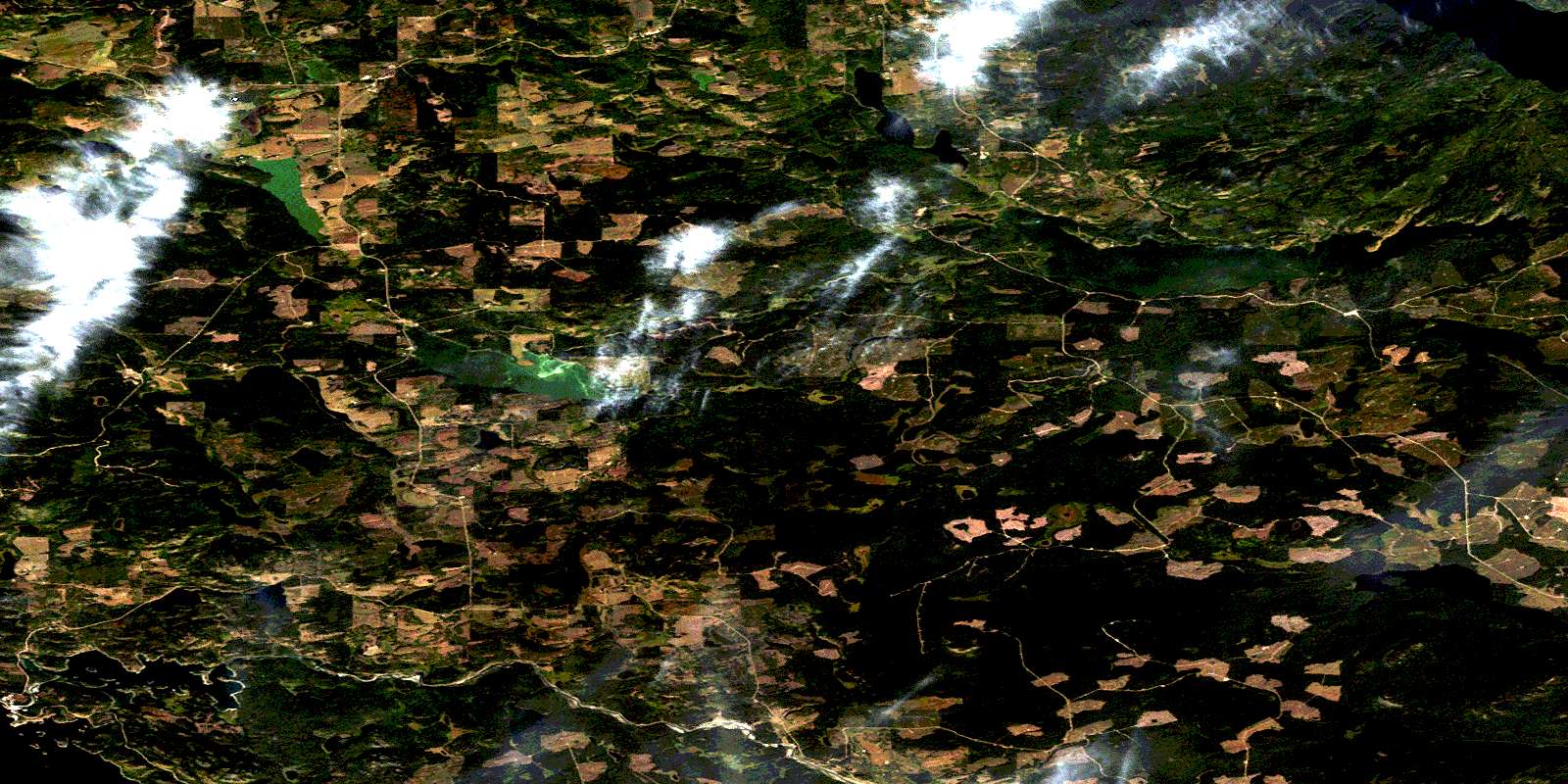
Takysie Lake Satellite Imagery
To view this satellite map, mouse over the air photo on the right.
You can also download this satellite image map for free:
093F13 Takysie Lake high-resolution satellite image map.
Maps for the Takysie Lake aerial map sheet 093F13 at 1:50,000 scale are also available in these versions:
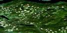
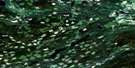
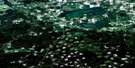
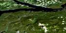
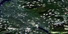
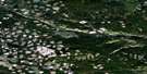
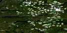
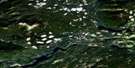
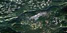
Takysie Lake Surrounding Area Aerial Photo Maps
 |
 |
 |
 |
 |
 |
 |
 |
 |
 |
 |
 |
 |
 |
 |
 |
© Department of Natural Resources Canada. All rights reserved.
Takysie Lake Gazetteer
The following places can be found on satellite image map 093F13 Takysie Lake:
Takysie Lake Satellite Image: Indian Reserves
Cheslatta Indian Reserve 1Eastern Island Indian Reserve 13
Omineca Indian Reserve 1
Réserve indienne Cheslatta 1
Réserve indienne Eastern Island 13
Réserve indienne Omineca 1
Réserve indienne Skin Lake 15
Réserve indienne Skins Lake 16A
Réserve indienne Skins Lake 16B
Réserve indienne Uncha Lake 13A
Réserve indienne Western Island 14
Skin Lake Indian Reserve 15
Skins Lake Indian Reserve 16A
Skins Lake Indian Reserve 16B
Uncha Lake Indian Reserve 13A
Western Island Indian Reserve 14
Takysie Lake Satellite Image: Lakes
Acorn LakeBeaver Lake
Beaver Lake
Bickle Lake
Binta Lake
Boyd Lake
Castor Lake
Clatlatiently Lake
Eakin Lake
Edlund Lake
Enter Lake
François Lake
Getzuni Lake
Hewson Lake
Innes Lake
Jack Weekes Lake
Llgitiyuz Lake
Long Lake
Lower Innis Lake
Mollice Lake
Moss Lake
Moxley Lake
Murdoch Lake
Nechako Reservoir
Ootsa Lake
Ootsanee Lake
Otto Lake
Ranier Lake
Robertson Lake
Sather Lake
Skins Lake
Small Trout Lake
Snowflake Lake
Spencha Lake
Spud Lake
Star Lake
Takysie Lake
Tatalaska Lake
Tatalrose Lake
Totem Pole Lake
Uncha Lake
Warin Lake
Westman Lake
York Lake
Takysie Lake Satellite Image: Mountains
Dayeezcha MountainLlgitiyuz Mountain
Skins Dome
Uncha Mountain
Takysie Lake Satellite Image: Major municipal/district area - major agglomerations
Regional District of Bulkley-NechakoTakysie Lake Satellite Image: Conservation areas
Mollice Lake ParkUncha Mountain Red Hills Park
Takysie Lake Satellite Image: Plains
Interior PlateauNechako Plateau
Takysie Lake Satellite Image: Rivers
Cheslatta RiverClatlatiently Creek
Dog Creek
East Moxley Creek
East Side Creek
Hawley Creek
Jack Weekes Creek
Moxley Creek
Small Trout Creek
Spencha Creek
Takysie Creek
Tatalaska Creek
Tatalrose Creek
Totem Pole Creek
Uncha Creek
Takysie Lake Satellite Image: Unincorporated areas
BickleCheslatta
Danskin
Grassy Plains
Takysie Lake
Tatalrose
© Department of Natural Resources Canada. All rights reserved.
093F Related Maps:
093F Nechako River093F01 Suscha Creek
093F02 Tsacha Lake
093F03 Fawnie Creek
093F04 Qualcho Lake
093F05 Tetachuck Lake
093F06 Natalkuz Lake
093F07 Chedakuz Creek
093F08 Euchiniko River
093F09 Tatuk Lake
093F10 Big Bend Creek
093F11 Cheslatta Lake
093F12 Marilla
093F13 Takysie Lake
093F14 Knapp Lake
093F15 Hallett Lake
093F16 Nulki Lake
