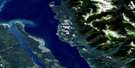
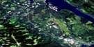
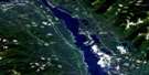
Portage Mountain Satellite Image Map
Download Free Aerial Photo 093O16 at 1:50,000 scale
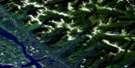
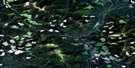
Portage Mountain Satellite Imagery
To view this satellite map, mouse over the air photo on the right.
You can also download this satellite image map for free:
093O16 Portage Mountain high-resolution satellite image map.
Maps for the Portage Mountain aerial map sheet 093O16 at 1:50,000 scale are also available in these versions:
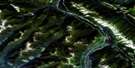
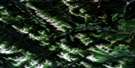
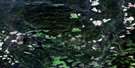
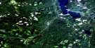
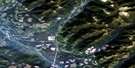
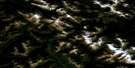
Portage Mountain Surrounding Area Aerial Photo Maps
 |
 |
 |
 |
 |
 |
 |
 |
 |
 |
 |
 |
 |
 |
 |
 |
© Department of Natural Resources Canada. All rights reserved.
Portage Mountain Gazetteer
The following places can be found on satellite image map 093O16 Portage Mountain:
Portage Mountain Satellite Image: Capes
Contact PointFerro Point
Fossiltree Point
Milligan Point
Reef Point
Portage Mountain Satellite Image: Channels
Earle NarrowsPortage Mountain Satellite Image: District municipality
Hudson's HopePortage Mountain Satellite Image: Islands
Moosebar IslandSteamboat Island
Portage Mountain Satellite Image: Lakes
Dinosaur LakeMoosecall Lake
Pete Lake
Wright Lake
Portage Mountain Satellite Image: Mountains
Grant KnobMount Frank Roy
Mount Johnson
Mount McAllister
Portage Mountain
Rocky Mountain Foothills
Tworidge Mountain
Portage Mountain Satellite Image: Major municipal/district area - major agglomerations
Peace River Regional DistrictPortage Mountain Satellite Image: Plains
Bull FlatsPortage Mountain Satellite Image: Rivers
Bullrun CreekBurnt Trail Creek
Coalbed Creek
Dowling Creek
Gaylard Creek
Gething Creek
Highrise Creek
Island Creek
Johnson Creek
McAllister Creek
Moberly River
Mogul Creek
Moosebar Creek
Peace River
Pete Creek
Portage Creek
Rivière de la Paix
Shangweshi Creek
Starfish Creek
Stubley Creek
Track Creek
White Rock Creek
Portage Mountain Satellite Image: Unincorporated areas
GethingPortage Mountain
Portage Mountain Satellite Image: Valleys
Peace River CanyonPortage Mountain Satellite Image: Low vegetation
Grant Flat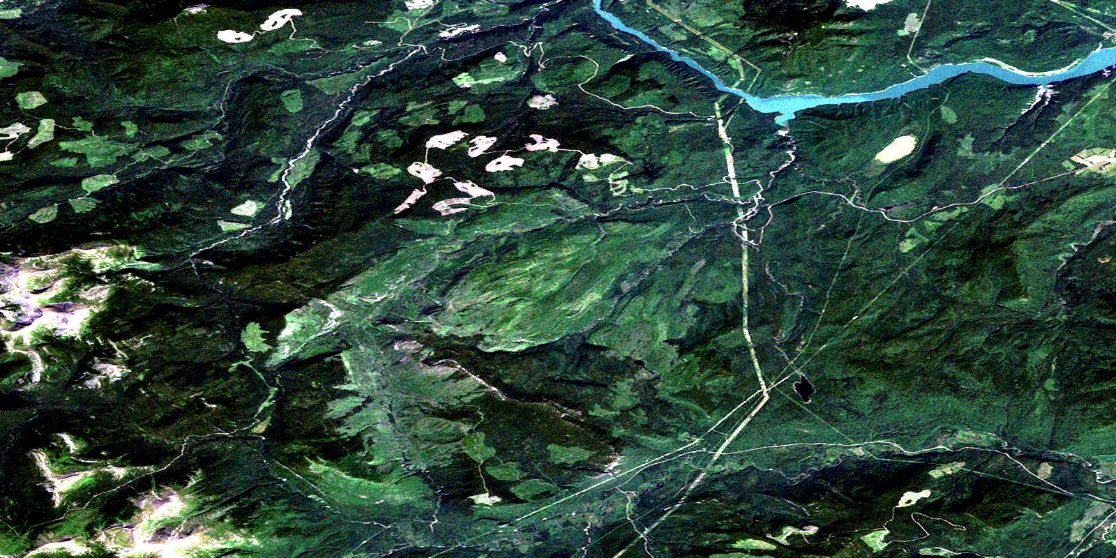
© Department of Natural Resources Canada. All rights reserved.
093O Related Maps:
093O Pine Pass093O01 Mount Reynolds
093O02 Colbourne Creek
093O03 Tudyah Lake
093O04 Philip Lakes
093O05 Philip Creek
093O06 Morfee Lakes
093O07 Azouzetta Lake
093O08 Le Moray Creek
093O09 Mount Hulcross
093O10 Callazon Creek
093O11 Cut Thumb Creek
093O12 Blackwater Creek
093O13 Mount Selwyn
093O14 Point Creek
093O15 Carbon Creek
093O16 Portage Mountain
