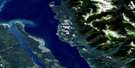
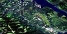
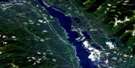
Callazon Creek Satellite Image Map
Download Free Aerial Photo 093O10 at 1:50,000 scale
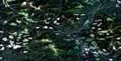
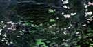
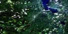
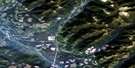
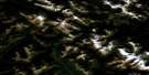
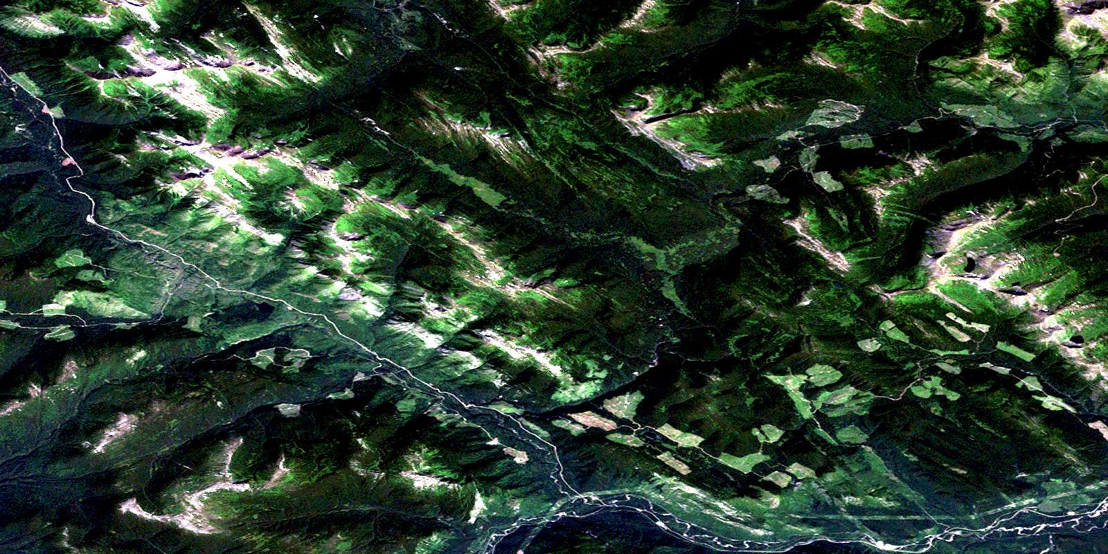
Callazon Creek Satellite Imagery
To view this satellite map, mouse over the air photo on the right.
You can also download this satellite image map for free:
093O10 Callazon Creek high-resolution satellite image map.
Maps for the Callazon Creek aerial map sheet 093O10 at 1:50,000 scale are also available in these versions:
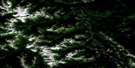
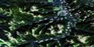
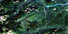
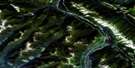
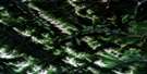
Callazon Creek Surrounding Area Aerial Photo Maps
 |
 |
 |
 |
 |
 |
 |
 |
 |
 |
 |
 |
 |
 |
 |
 |
© Department of Natural Resources Canada. All rights reserved.
Callazon Creek Gazetteer
The following places can be found on satellite image map 093O10 Callazon Creek:
Callazon Creek Satellite Image: Lakes
Carbon LakeClearwater Lake
Doonan Lake
Simpson Lake
Callazon Creek Satellite Image: Mountains
Hart RangesMisinchinka Ranges
Montagnes Rocheuses
Mount Garbitt
Mount Monteith
Rocky Mountain Foothills
Rocky Mountains
Rosetta Ridge
Callazon Creek Satellite Image: Major municipal/district area - major agglomerations
Peace River Regional DistrictCallazon Creek Satellite Image: Rivers
Big Boulder CreekCairns Creek
Callazon Creek
Clearwater Creek
Doonan Creek
Garbitt Creek
Link Creek
Little Boulder Creek
McNairn Creek
Moberly River
Mountain Creek
Mugaha Creek
Peck Creek
Pine River
Silver Sands Creek
Callazon Creek Satellite Image: Unincorporated areas
CallazonLemoray
© Department of Natural Resources Canada. All rights reserved.
093O Related Maps:
093O Pine Pass093O01 Mount Reynolds
093O02 Colbourne Creek
093O03 Tudyah Lake
093O04 Philip Lakes
093O05 Philip Creek
093O06 Morfee Lakes
093O07 Azouzetta Lake
093O08 Le Moray Creek
093O09 Mount Hulcross
093O10 Callazon Creek
093O11 Cut Thumb Creek
093O12 Blackwater Creek
093O13 Mount Selwyn
093O14 Point Creek
093O15 Carbon Creek
093O16 Portage Mountain
