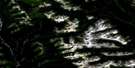
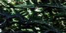
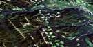
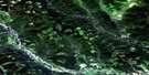
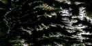
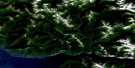
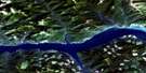
Mount Brewster Satellite Image Map
Download Free Aerial Photo 094B03 at 1:50,000 scale
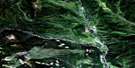
Mount Brewster Satellite Imagery
To view this satellite map, mouse over the air photo on the right.
You can also download this satellite image map for free:
094B03 Mount Brewster high-resolution satellite image map.
Maps for the Mount Brewster aerial map sheet 094B03 at 1:50,000 scale are also available in these versions:
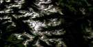
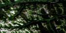
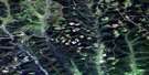
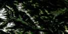
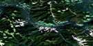
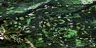
Mount Brewster Surrounding Area Aerial Photo Maps
 |
 |
 |
 |
 |
 |
 |
 |
 |
 |
 |
 |
 |
 |
 |
 |
© Department of Natural Resources Canada. All rights reserved.
Mount Brewster Gazetteer
The following places can be found on satellite image map 094B03 Mount Brewster:
Mount Brewster Satellite Image: Capes
Fossil PointNe-parle-pas Point
Mount Brewster Satellite Image: Geographical areas
Cariboo Land DistrictPeace River Land District
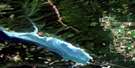
Mount Brewster Satellite Image: Lakes
Williston LakeMount Brewster Satellite Image: Mountains
Advance MountainBlack Bear Ridge
Hart Ranges
Montagnes Rocheuses
Mount Brewster
Mount Burden
Mount Greene
Muskwa Ranges
Pardonet Hill
Rocky Mountain Foothills
Rocky Mountains
Mount Brewster Satellite Image: Major municipal/district area - major agglomerations
Peace River Regional DistrictMount Brewster Satellite Image: Rapids
Ne-parle-pas RapidsMount Brewster Satellite Image: Rivers
Bernard CreekLawrence Creek
Nabesche River
Pardonet Creek
Ursula Creek
Weasel Creek
West Nabesche River
Mount Brewster Satellite Image: River features
Peace ReachMount Brewster Satellite Image: Valleys
Black Bear Valley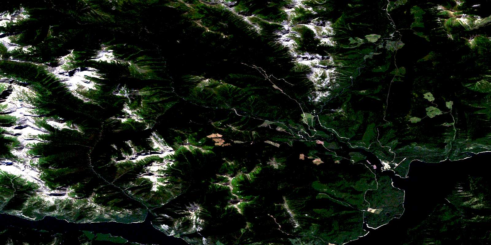
© Department of Natural Resources Canada. All rights reserved.
094B Related Maps:
094B Halfway River094B01 Butler Ridge
094B02 Jones Peak
094B03 Mount Brewster
094B04 Wicked River
094B05 Gauvreau Creek
094B06 Emerslund Lakes
094B07 Hackney Hills
094B08 Kobes Creek
094B09 Aikman Creek
094B10 Chowade River
094B11 Christina Falls
094B12 Mount Lady Laurier
094B13 Mount Robb
094B14 Mount Laurier
094B15 Cypress Creek
094B16 Blair Creek
