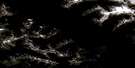
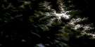
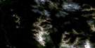
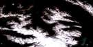
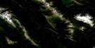
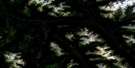
Salix Creek Satellite Image Map
Download Free Aerial Photo 094D02 at 1:50,000 scale
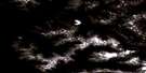
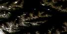
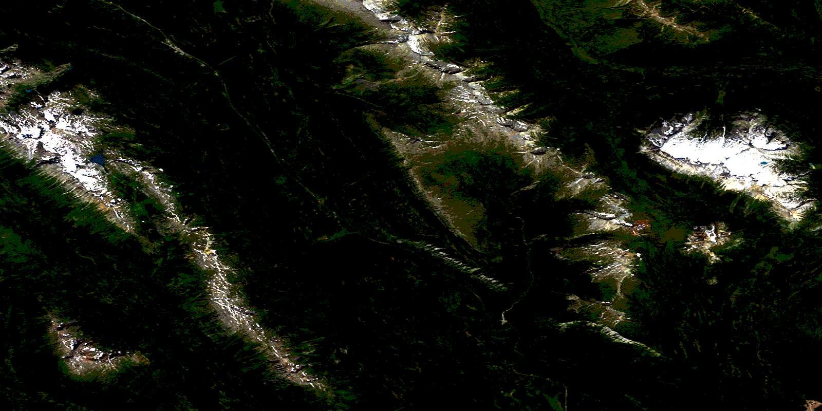
Salix Creek Satellite Imagery
To view this satellite map, mouse over the air photo on the right.
You can also download this satellite image map for free:
094D02 Salix Creek high-resolution satellite image map.
Maps for the Salix Creek aerial map sheet 094D02 at 1:50,000 scale are also available in these versions:
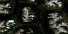
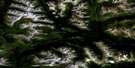
Salix Creek Surrounding Area Aerial Photo Maps
 |
 |
 |
 |
 |
 |
 |
 |
 |
 |
 |
 |
 |
 |
 |
 |
© Department of Natural Resources Canada. All rights reserved.
Salix Creek Gazetteer
The following places can be found on satellite image map 094D02 Salix Creek:
Salix Creek Satellite Image: Bays
Tsaytut BaySalix Creek Satellite Image: Capes
Nantistil PointTzum Point
Salix Creek Satellite Image: Glaciers
Kettle GlaciersSalix Creek Satellite Image: Indian Reserves
Bear Lake (Fort Connelly) Indian Reserve 4Bear Lake (Tsaytut Bay) Indian Reserve 1B
Klewaduska (Cataract) Indian Reserve 6
Réserve indienne Bear Lake (Fort Connelly) 4
Réserve indienne Bear Lake (Tsaytut Bay) 1B
Réserve indienne Klewaduska (Cataract) 6
Réserve indienne Tsaytut Island 1C
Réserve indienne Tsupmeet (Patcha Creek) 5
Tsaytut Island Indian Reserve 1C
Tsupmeet (Patcha Creek) Indian Reserve 5
Salix Creek Satellite Image: Islands
Klee IslandSalix Creek Satellite Image: Lakes
Azuklotz LakeBear Lake
Drift Lake
Foerster Lake
Pond Lake
Sapolio Lake
Salix Creek Satellite Image: Mountains
Comb PeakConnelly Range
Hogem Ranges
Mount Coccola
Mount Morice
Nep Peak
Omineca Mountains
Peggy Peak
Peteyaz Peak
Sitchiada Mountain
Skeena Mountains
The Thumb
Tsaytut Spur
Salix Creek Satellite Image: Plains
Interior PlateauNechako Plateau
Salix Creek Satellite Image: Rivers
Azuklotz CreekBear River
Driftwood River
Fumar Creek
Omineca River
Patcha Creek
Peteka Creek
Salix Creek
Squingula River
Triple Creek
Salix Creek Satellite Image: Springs
Big Kettle FumaroleSalix Creek Satellite Image: Unincorporated areas
Bear LakeConnelly
© Department of Natural Resources Canada. All rights reserved.
094D Related Maps:
094D Mcconnell Creek094D01 Nanitsch Lake
094D02 Salix Creek
094D03 Motase Lake
094D04 Sicintine River
094D05 Slamgeesh River
094D06 Birdflat Creek
094D07 Asitka River
094D08 Carruthers Pass
094D09 Johanson Lake
094D10 Moosevale Creek
094D11 South Pass Peak
094D12 Alma Creek
094D13 Malloch Creek
094D14 Tatlatui Lake
094D15 Thorne Lake
094D16 Fredrikson Creek
