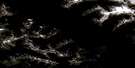
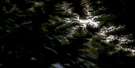
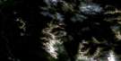
Malloch Creek Satellite Image Map
Download Free Aerial Photo 094D13 at 1:50,000 scale
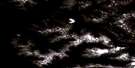
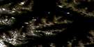
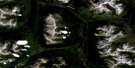
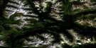
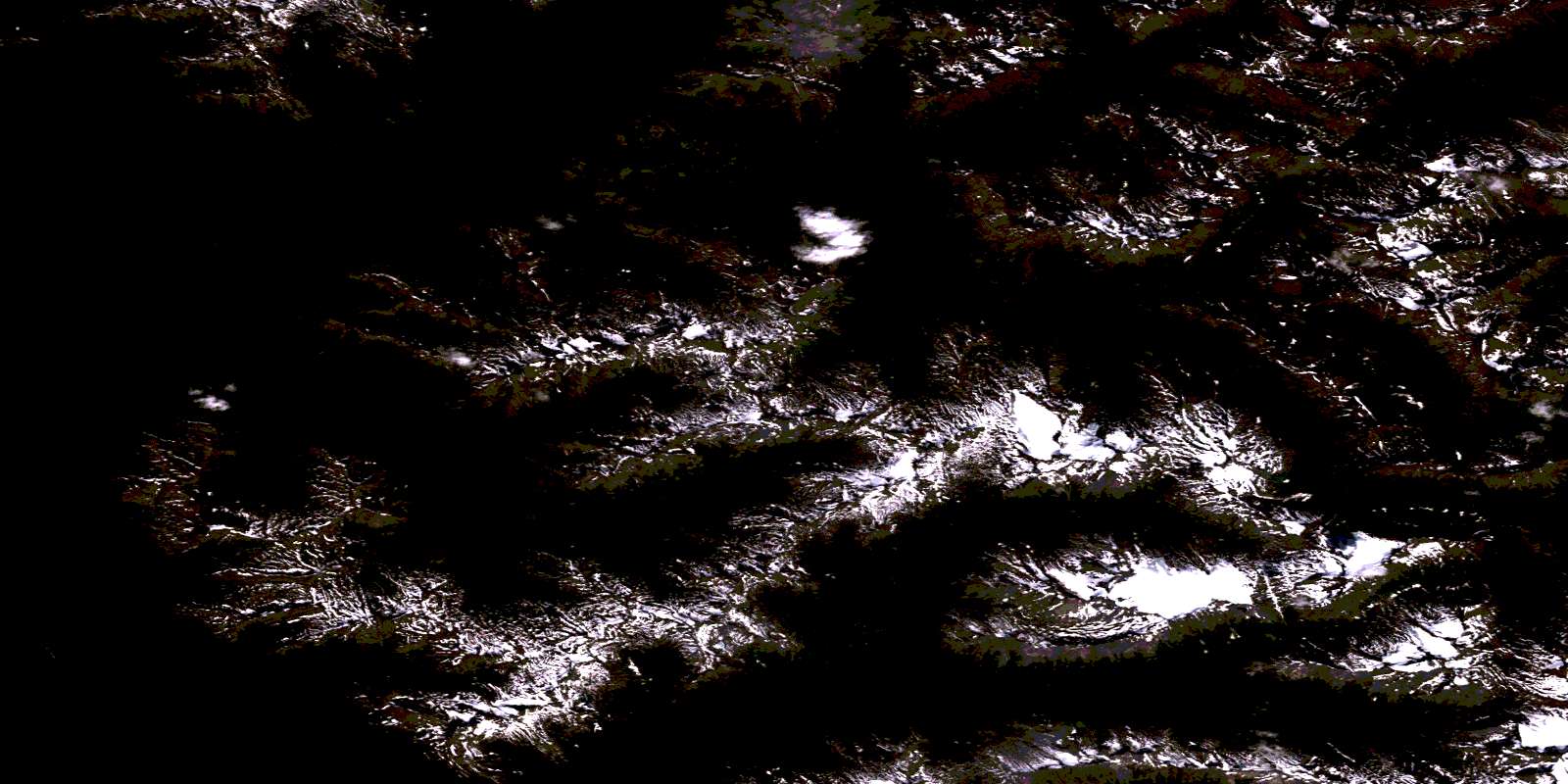
Malloch Creek Satellite Imagery
To view this satellite map, mouse over the air photo on the right.
You can also download this satellite image map for free:
094D13 Malloch Creek high-resolution satellite image map.
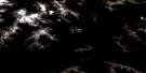
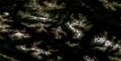
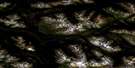
Maps for the Malloch Creek aerial map sheet 094D13 at 1:50,000 scale are also available in these versions:
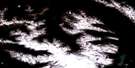
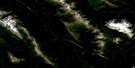
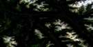
Malloch Creek Surrounding Area Aerial Photo Maps
 |
 |
 |
 |
 |
 |
 |
 |
 |
 |
 |
 |
 |
 |
 |
 |
© Department of Natural Resources Canada. All rights reserved.
Malloch Creek Gazetteer
The following places can be found on satellite image map 094D13 Malloch Creek:
Malloch Creek Satellite Image: Lakes
Hoy LakeTrygve Lake
Tzahny Lake
Malloch Creek Satellite Image: Mountains
Alma PeakChettleburgh Peak
Chipmunk Peak
Geodfrey Mountain
Grossman Peak
Malloch Peak
Melanistic Peak
Mount Geodfrey
Mount Trygve
Skeena Mountains
Tatlatui Range
Trygve Mountain
Tzahny Mountain
Malloch Creek Satellite Image: Major municipal/district area - major agglomerations
Peace River Regional DistrictMalloch Creek Satellite Image: Conservation areas
Tatlatui ParkMalloch Creek Satellite Image: Rivers
Barker CreekChettleburgh Creek
Chipmunk Creek
Duti River
Hoy Creek
Malloch Creek
McConachie Creek
Skeena River
Trygve Creek
Tzahny Creek
© Department of Natural Resources Canada. All rights reserved.
094D Related Maps:
094D Mcconnell Creek094D01 Nanitsch Lake
094D02 Salix Creek
094D03 Motase Lake
094D04 Sicintine River
094D05 Slamgeesh River
094D06 Birdflat Creek
094D07 Asitka River
094D08 Carruthers Pass
094D09 Johanson Lake
094D10 Moosevale Creek
094D11 South Pass Peak
094D12 Alma Creek
094D13 Malloch Creek
094D14 Tatlatui Lake
094D15 Thorne Lake
094D16 Fredrikson Creek
