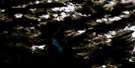
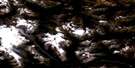
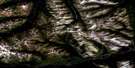
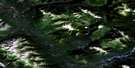
Paul River Satellite Image Map
Download Free Aerial Photo 094F06 at 1:50,000 scale
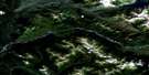
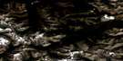
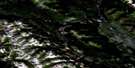
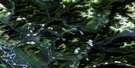
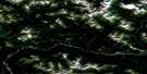
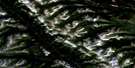
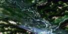
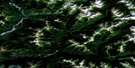
Paul River Satellite Imagery
To view this satellite map, mouse over the air photo on the right.
You can also download this satellite image map for free:
094F06 Paul River high-resolution satellite image map.
Maps for the Paul River aerial map sheet 094F06 at 1:50,000 scale are also available in these versions:
Paul River Surrounding Area Aerial Photo Maps
 |
 |
 |
 |
 |
 |
 |
 |
 |
 |
 |
 |
 |
 |
 |
 |
© Department of Natural Resources Canada. All rights reserved.
Paul River Gazetteer
The following places can be found on satellite image map 094F06 Paul River:
Paul River Satellite Image: Lakes
Foot LakePaul River Satellite Image: Mountains
Finlay RangesGrave Mountain
Montagnes Rocheuses
Mount Del
Mount Paul
Muskwa Ranges
Omineca Mountains
Rocky Mountains
Paul River Satellite Image: Major municipal/district area - major agglomerations
Peace River Regional DistrictPaul River Satellite Image: Rivers
Cache CreekDel Creek
Finlay River
Paul River
Paul River Satellite Image: River features
FinbowPaul River Satellite Image: Valleys
Rocky Mountain Trench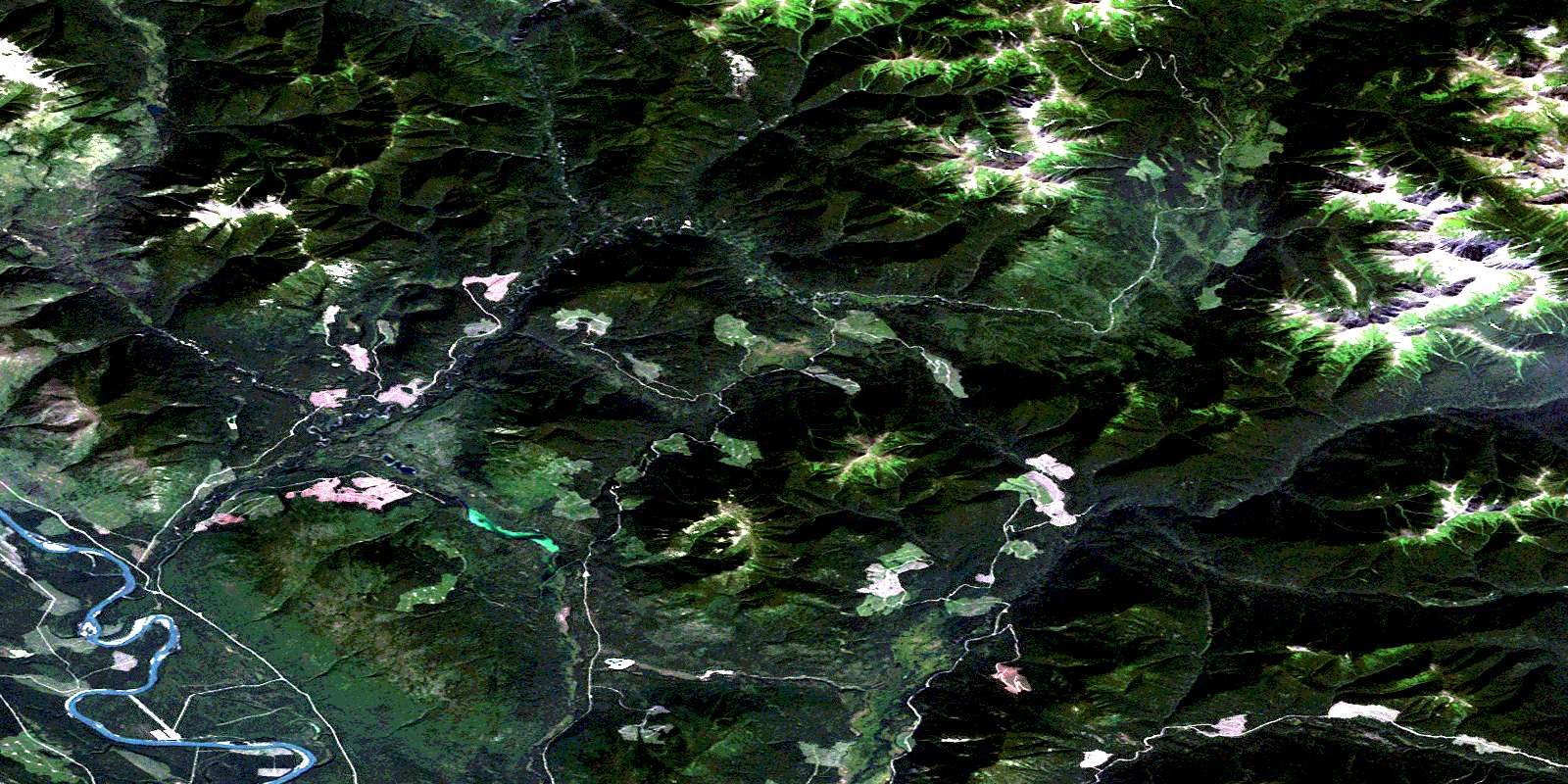
© Department of Natural Resources Canada. All rights reserved.
094F Related Maps:
094F Ware094F01 No Title
094F02 No Title
094F03 Truncate Creek
094F04 Mount Russel
094F05 Ware
094F06 Paul River
094F07 No Title
094F08 Cyclops Peak
094F09 Mount Justin
094F10 Ipec Lake
094F11 Mount Alcock
094F12 Mount Chief Davie
094F13 Mount Mccook
094F14 Haworth Lake
094F15 Mount Lloyd George
094F16 No Title
