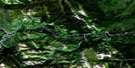
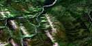
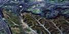
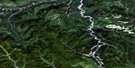
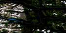
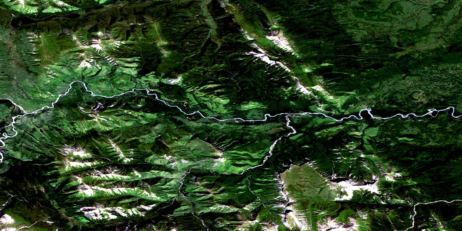
Kluachesi Lake Satellite Image Map
Download Free Aerial Photo 094G13 at 1:50,000 scale
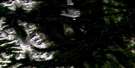
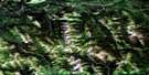
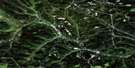
Kluachesi Lake Satellite Imagery
To view this satellite map, mouse over the air photo on the right.
You can also download this satellite image map for free:
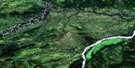
094G13 Kluachesi Lake high-resolution satellite image map.
Maps for the Kluachesi Lake aerial map sheet 094G13 at 1:50,000 scale are also available in these versions:
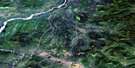
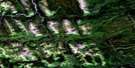
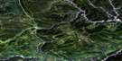
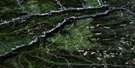
Kluachesi Lake Surrounding Area Aerial Photo Maps
 |
 |
 |
 |
 |
 |
 |
 |
 |
 |
 |
 |
 |
 |
 |
 |
© Department of Natural Resources Canada. All rights reserved.
Kluachesi Lake Gazetteer
The following places can be found on satellite image map 094G13 Kluachesi Lake:
Kluachesi Lake Satellite Image: Lakes
Grizzly LakeKluachesi Lake
Kluachesi Lake Satellite Image: Mountains
Little Sisters MountainMontagnes Rocheuses
Muskwa Ranges
Rocky Mountain Foothills
Rocky Mountains
Sleeping Chief Mountain
Kluachesi Lake Satellite Image: Major municipal/district area - major agglomerations
Peace River Regional DistrictKluachesi Lake Satellite Image: Plains
Peace River LowlandKluachesi Lake Satellite Image: Rivers
Bat CreekCrehan Creek
Kluachesi Creek
Muskwa River
Puder Creek
Reimer Creek
Tierney Creek
Varrick Creek
© Department of Natural Resources Canada. All rights reserved.
094G Related Maps:
094G Trutch094G01 Julienne Creek
094G02 Pink Mountain
094G03 Marion Lake
094G04E Mount Mccusker
094G04W Mount Mccusker
094G05E Redfern Lake
094G05W Redfern Lake
094G06E Mount Withrow
094G06W Mount Withrow
094G07 Caribou Creek
094G08 Medana Creek
094G09 Donnie Creek
094G10 Trutch
094G11E Minaker River
094G11W Minaker River
094G12E Richards Creek
094G12W Richards Creek
094G13 Kluachesi Lake
094G14E Bunch Creek
094G14W Bunch Creek
094G15 Bougie Creek
094G16 Boat Creek
