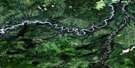
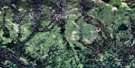
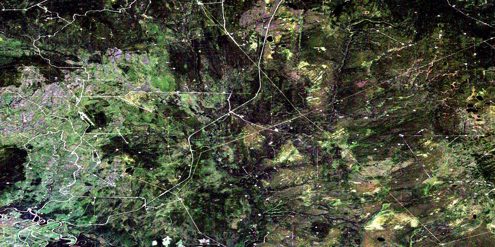
Birley Creek Satellite Image Map
Download Free Aerial Photo 094H06 at 1:50,000 scale
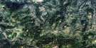
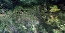
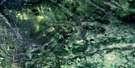
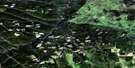
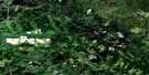
Birley Creek Satellite Imagery
To view this satellite map, mouse over the air photo on the right.
You can also download this satellite image map for free:
094H06 Birley Creek high-resolution satellite image map.
Maps for the Birley Creek aerial map sheet 094H06 at 1:50,000 scale are also available in these versions:
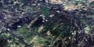
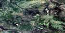
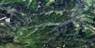
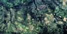
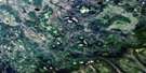
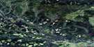
Birley Creek Surrounding Area Aerial Photo Maps
 |
 |
 |
 |
 |
 |
 |
 |
 |
 |
 |
 |
 |
 |
 |
 |
© Department of Natural Resources Canada. All rights reserved.
Birley Creek Gazetteer
The following places can be found on satellite image map 094H06 Birley Creek:
Birley Creek Satellite Image: Lakes
Hunter LakesSilver Lakes
Wargen Lakes
Wendy Lake
Birley Creek Satellite Image: Major municipal/district area - major agglomerations
Peace River Regional DistrictBirley Creek Satellite Image: Rivers
Beatton RiverBirley Creek
Black Creek
Conroy Creek
Martin Creek
Pickell Creek
Wendy Creek
West Gutah Creek
Birley Creek Satellite Image: Unincorporated areas
Beatton RiverSilver Lake
© Department of Natural Resources Canada. All rights reserved.
094H Related Maps:
094H Beatton River094H01 Adskwatim Creek
094H02 Big Arrow Creek
094H03 Nig Creek
094H04 Bubbles Creek
094H05 La Prise Creek
094H06 Birley Creek
094H07 Milligan Hills
094H08 No Title
094H09 Ring Reid Creek
094H10 Heck Creek
094H11 River Lake
094H12 West Conroy Creek
094H13 Tommy Lakes
094H14 Katah Creek
094H15 Helicopter Creek
094H16 Etthithun Lake
