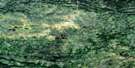
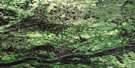
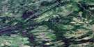
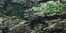
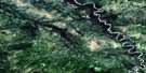
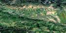
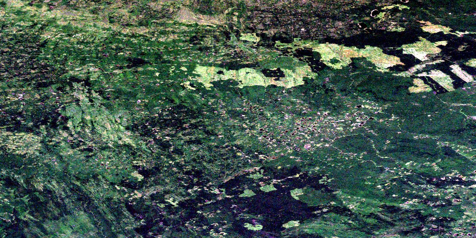
Datcin Creek Satellite Image Map
Download Free Aerial Photo 094I15 at 1:50,000 scale
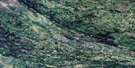
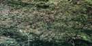
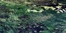
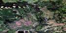
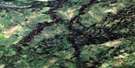
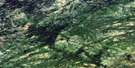
Datcin Creek Satellite Imagery
To view this satellite map, mouse over the air photo on the right.
You can also download this satellite image map for free:
094I15 Datcin Creek high-resolution satellite image map.
Maps for the Datcin Creek aerial map sheet 094I15 at 1:50,000 scale are also available in these versions:
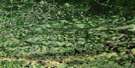
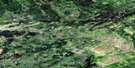
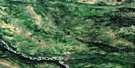
Datcin Creek Surrounding Area Aerial Photo Maps
 |
 |
 |
 |
 |
 |
 |
 |
 |
 |
 |
 |
 |
 |
 |
 |
© Department of Natural Resources Canada. All rights reserved.
Datcin Creek Gazetteer
The following places can be found on satellite image map 094I15 Datcin Creek:
Datcin Creek Satellite Image: Major municipal/district area - major agglomerations
Fort Nelson-Liard Regional DistrictPeace River Regional District
Datcin Creek Satellite Image: Plains
Etsho PlateauDatcin Creek Satellite Image: Rivers
Datcin CreekKlicho Creek
Kotcho River
Sahcho Creek
White Spruce Creek
© Department of Natural Resources Canada. All rights reserved.
094I Related Maps:
094I Fontas River094I01 Beaverskin Creek
094I02 Bedji Creek
094I03 Niteal Creek
094I04 Dehacho Creek
094I05 Fontas
094I06 Elleh Lake
094I07 Ekwan Creek
094I08 Little Buffalo River
094I09E Timberwolf Creek
094I09W Timberwolf Creek
094I10E Townsoitoi Creek
094I10W Townsoitoi Creek
094I11E Kyklo Creek
094I11W Kyklo Creek
094I12E Nogah Creek
094I12W Nogah Creek
094I13E Gunnell Creek
094I13W Gunnell Creek
094I14E Lichen Creek
094I14W Lichen Creek
094I15E Datcin Creek
094I15W Datcin Creek
094I16E Shekilie River
094I16W Shekilie River
